Browse categories
Explore
Fiverr Pro
English
$
USD


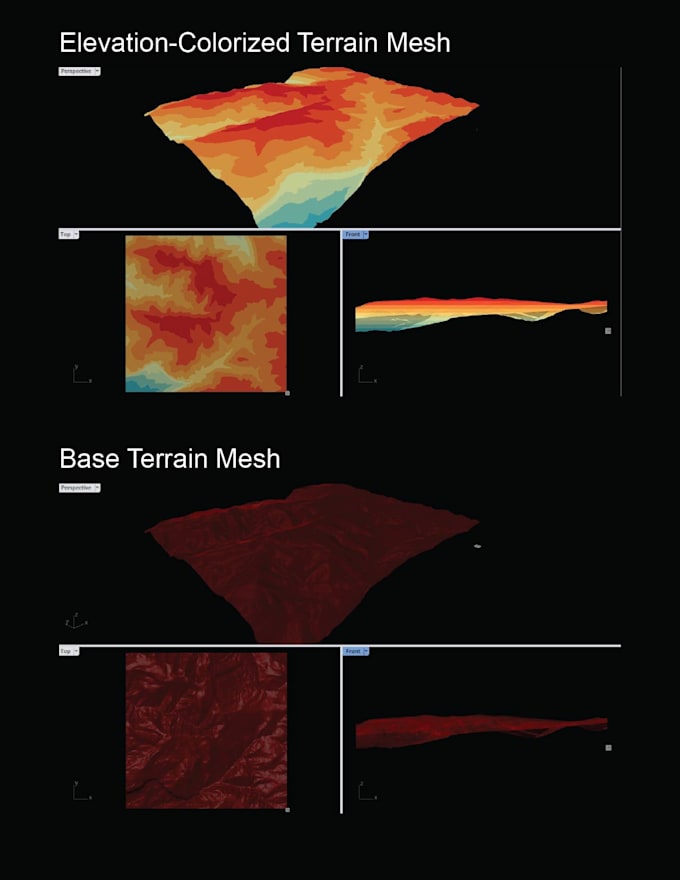
This service provides clients with 3D elevation/terrain models for a your site. I use trusted LiDAR data from the USGS's 3D Elevation Program (3DEP) and process the data into 3D point clouds and mesh surfaces. You can import the mesh files directly into 3D software like Rhino and/or render the 3D point cloud with custom Grasshopper components. I provide add-on options for custom Grasshopper scripts that perform spatial analysis tasks such as min-max and average elevation in a selected region, and elevation-based point segmentation.
This service is available for U.S. locations only. This service cannot be fulfilled for select locations in the U.S. due to lack of 3DEP data. Please submit a location inquiry first and I will check USGS 3DEP data.
NOTE: This service is intended for high-level visualization, conceptual design, and low-to-moderate accuracy analysis. It should not be relied upon as a substitute for certified land surveys, engineering studies, or professional geospatial services. For projects requiring legal, engineering, or construction-grade accuracy, please consult a licensed professional surveyor or geospatial engineer.
Building the bridge between geospatial data, analysis, and design
Languages