Browse categories
English
$
USD
Connect to your AI



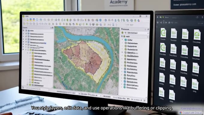
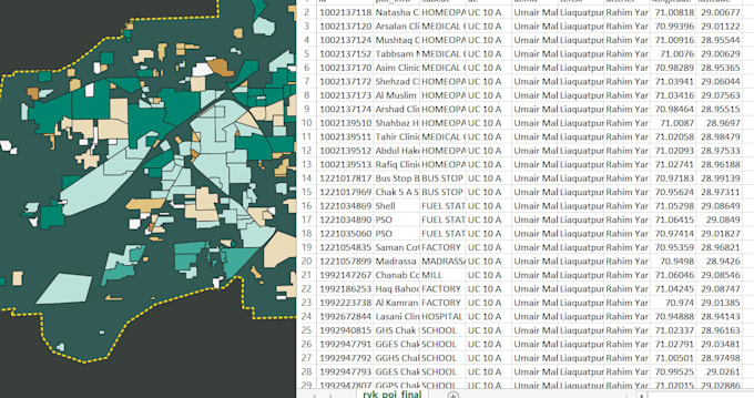
Do you have location data trapped in an Excel spreadsheet, CSV file, or database and want to bring it to life on a professional map? You are at the right place!
I am an experienced GIS professional specializing in converting raw tabular data into stunning, insightful, and publication-ready spatial maps using QGIS and ArcGIS. Whether you need simple coordinates plotted or complex spatial analysis, I can help you visualize your data clearly.
My Core Services:
Why Choose Me?
Let's turn your data into smart maps! Please message me before placing an order to discuss your project details and dataset
Senior GIS Expert, Spatial Analyst and Python Developer
Languages
What file formats do you need to start?
I typically need your data in an Excel (.xlsx), CSV (.csv), or TXT format. The file should include location information such as complete addresses, city names, or Latitude/Longitude coordinates
What software do you use to create the maps?
I primarily use industry-standard GIS software like QGIS and ArcGIS to process data, perform spatial analysis, and design high-resolution professional maps.
Can you convert street addresses into coordinates (Geocoding)?
Yes! If your spreadsheet only has street addresses, city names, or zip codes without coordinates, I can geocode them to accurately plot your data onto the map.