I will create terrain, topography and site elevation drawings

L
law_abiodun
L
law_abiodun
Lawrence A

About this gig

HELLO

WELCOME TO MY GIG!

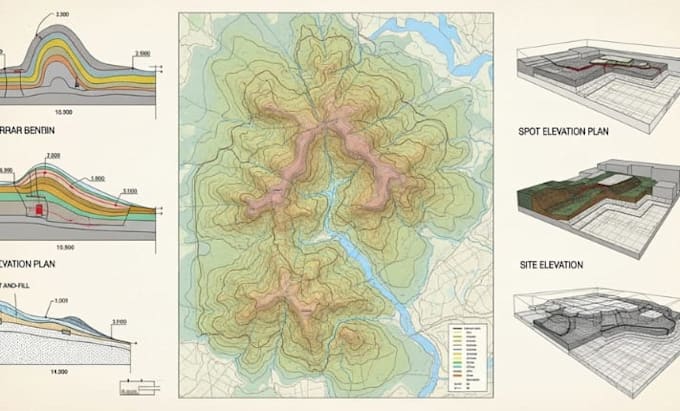
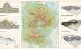
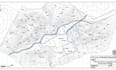
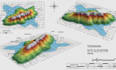
Accurate site data is the foundation of a successful construction project and crucial for gaining city permit and planning permission approval. Without a professional topography survey or site elevation drawing, you risk costly mistakes and delays. I provide precise, technical architectural drawings that capture the exact conditions of your land. I transform your sketches, hand drawings, survey notes, or PDF files into clear, scaled CAD drawings you can trust.


What I Can Create for You

  • Detailed terrain and contour maps
  • Accurate site elevation drawings
  • Topography layouts for planning and design
  • Land grading and slope analysis
  • Elevation profiles and section drawings
  • GIS based terrain data conversion
  • CAD ready files for engineering use


Message me before placing an order to discuss about your reference details


Service verification and delivery style preference

Fiverr does not screen freelancers in this category. Please verify qualifications and discuss requirements with the freelancer before ordering, including any preferences regarding the use of AI tools.

Get to know Lawrence A

Lawrence A
  • FromUnited Kingdom
  • Member sinceNov 2025
  • Avg. response time1 hour
  • Languages

    English
Hello! I’m a dedicated drafting and site design specialist with a strong focus on terrain modeling, topography mapping, elevation drawings, and land development plans. I help architects, surveyors, builders, and real estate developers turn raw site information into clear, accurate, and professional drawings that support smart planning and confident decision making. With years of hands on experience using AutoCAD, Civil 3D, GIS tools, and terrain modeling software, I create contour maps, site elevation plans, grading layouts, and detailed terrain profiles tailored to each project’s needs