Browse categories
Explore
Fiverr Pro
English
$
USD

Level 2
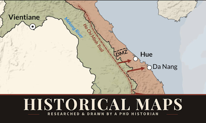
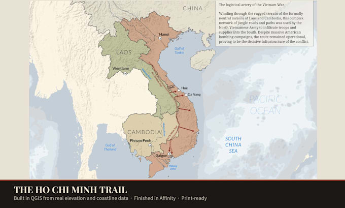
Stop ruining great historical content with inaccurate maps.
Are you producing a history documentary, a YouTube video, or publishing a book? A generic graphic designer might make a map look pretty, but they won't know the difference between the borders of the Roman Empire in 117 AD versus 180 AD.
I am Lorenzo, a PhD historian, archaeologist, and GIS expert. I don't just draw maps; I research them. I combine my academic rigor with professional digital design to create highly accurate, visually engaging historical maps tailored to your narrative.
What I can create for you:
Why work with me? Unlike standard illustrators, I build maps using real historical data and academic sources.
Please message me before ordering so we can discuss the specific historical period and the exact scope of your project!
Please inform the freelancer of any preferences or concerns regarding the use of AI tools in the completion and/or delivery of your order.
To know the past, to understand the present, to foresee the future
Level 2
Languages
What information do you need from me to start?
Please provide the specific historical period (e.g., year/month), the geographical area, and a list of the key elements you want highlighted, such as specific cities, troop movements, or borders.
Can my video editor animate these maps for YouTube/documentaries?
Absolutely! If you purchase the Premium package, I will provide the perfectly layered vector source file. This makes it incredibly easy for your video editor to isolate and animate text, borders, and icons.
Are these maps historically accurate?
Yes. As a PhD historian and archaeologist, I rely on rigorous academic sources, primary data, and GIS workflows to ensure borders, topography, and locations are as accurate as possible for your requested time period.