Browse categories
Explore
Fiverr Pro
English
$
USD
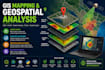
I will help you analyze, map, and visualize geospatial data using GIS, remote sensing, and spatial analysis tools. I can create maps, clean spatial datasets, perform location analysis, analyze satellite imagery, and deliver clear insights for planning, research, business, or environmental projects.
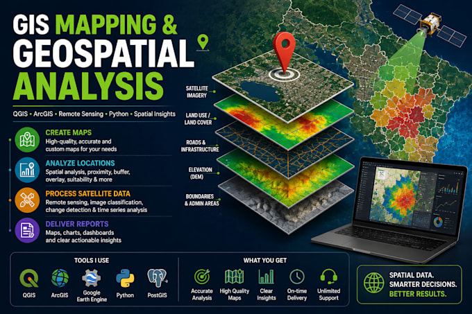
I work with tools such as QGIS, ArcGIS, Google Earth Engine, Python, GeoPandas, Rasterio, PostGIS, and satellite data. My background includes geospatial engineering, spatial data analysis, remote sensing, and AI/ML for Earth observation