Browse categories
Explore
Fiverr Pro
English
$
USD
I'm not reclusive at all Just private
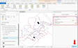
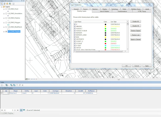
CAD to GIS Conversion Specialist
Convert AutoCAD drawings to georeferenced GIS data with precision and accuracy.
️ Services:
- DWG/DXF to Shapefile
- Georeferencing CAD files
- Coordinate system transformation
- Attribute data transfer
- Topology creation
- Quality control & validation
Input Formats:
DWG | DXF | DGN | PDF maps
Output Formats:
Shapefile | GeoJSON | KML | FileGDB | PostGIS
Perfect for engineering firms, municipalities, utilities, construction companies, surveyors.
Accurate conversions with proper coordinate systems!