Browse categories
Explore
Fiverr Pro
English
$
USD


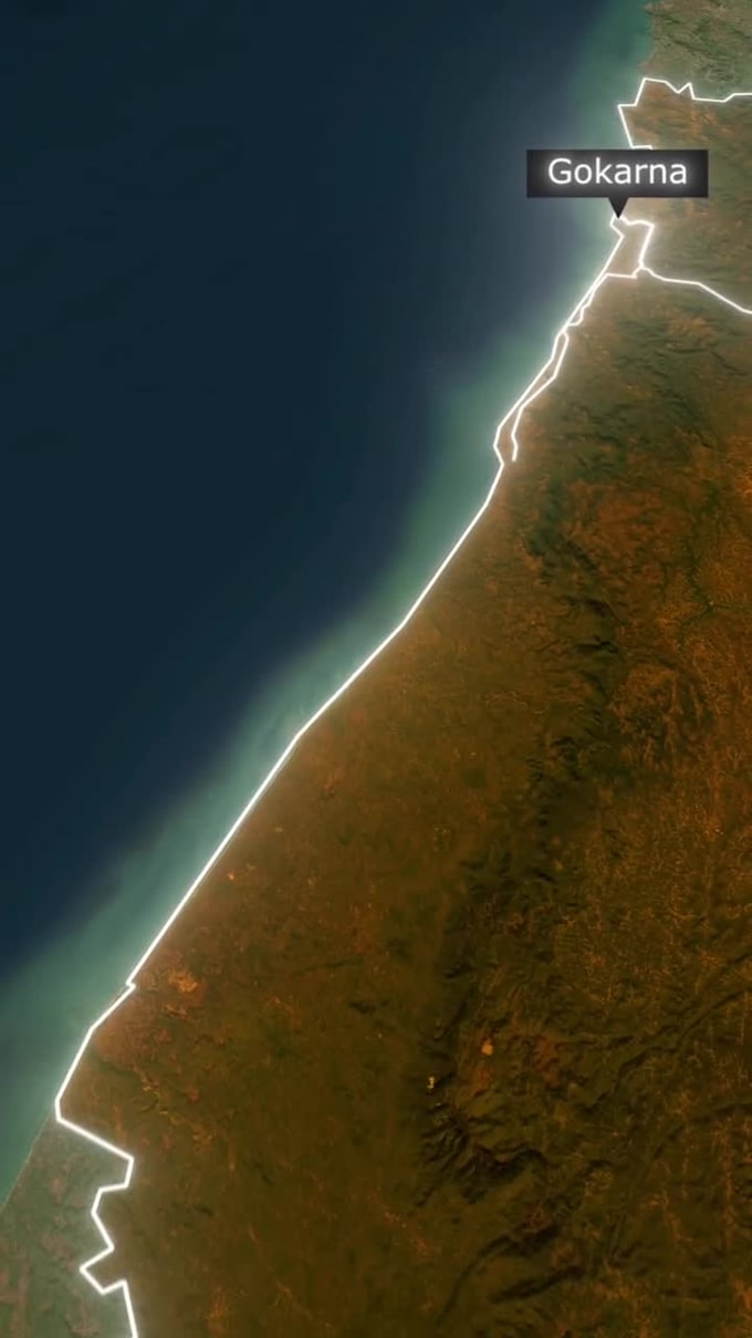
Historical map animation for documentaries, educational videos, museums, and history channels. I produce cinematic historical map animations, animated battle maps, empire expansion visuals, migration and trade route animations, timeline map motion graphics, and territorial change videos. Services include vector map animation, stylized vintage and parchment maps, satellite to vector transitions, animated borders, troop and fleet movements, route tracking, animated legends, and data-driven map motion
Ideal for documentary filmmakers, historians, educators, museums, YouTube history channels, and academic media. I use After Effects, GeoLayers and 2D/3D motion workflows to deliver HD or 4K documentary-ready outputs. Deliverables: MP4 or MOV, optional source project, labels/subtitles, optional sound design, and commercial use license
To start, provide your script or timeline, key locations or coordinates, date ranges, map style preference (vintage, modern, satellite, vector), desired duration and resolution. Get authoritative documentary map animation, historic map motion graphics, and museum-quality animated maps that turn historical data into compelling visual narratives.
Map Animator World Class GeoLayers and AE Visuals for Docs and YouTube
Languages
What formats and resolutions do you deliver?
I deliver MP4 or MOV in 1080p HD or 4K. Source project (After Effects) is available in Standard and Premium packages on request.
Can you animate battles, migrations, or empire expansions?
Yes. I animate battle movements, troop and naval routes, migration flows, conquest and territorial changes with timeline map motion and animated legends.
Do I get commercial rights for broadcast or museum use?
Yes. Standard and Premium packages include commercial use license for documentaries, broadcasts, museum displays, and online publishing.
Which map styles can you produce?
Vintage/parchment, stylized historical, realistic satellite, clean vector, or hybrid satellite-to-vector transitions — all optimized for documentary visuals.
What do you need to start a historical map animation?
Provide a script or timeline, list of locations (names or coordinates), date ranges, preferred map style, desired length, and any reference images or logos.