I will gis qgis and arcgis professional maps

M
madhusudhan607
M
madhusudhan607
Madhusudhan S

About this gig

Hi and welcome!

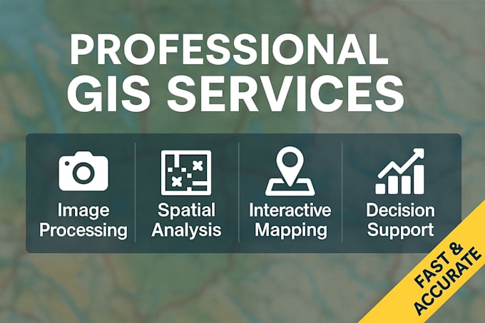
I'm a GIS professional with a Master's in Geoinformatics and experience in spatial analysis, environmental studies, and geospatial data processing. I use ArcGIS, QGIS, ERDAS Imagine, and Google Earth Engine to deliver accurate, clear, and decision-ready maps for your projects.


My Services:

  • Spatial Analysis & Modeling
  • Land Use / LULC Maps
  • Environmental Studies
  • Geoprocessing & Stats
  • Remote Sensing
  • Site Suitability Analysis
  • Change Detection
  • Cartographic Maps
  • Custom GIS Solutions


Why Choose Me?

  • Masters in GIS & Remote Sensing
  • Strong research background (published work on wetland conservation)
  • Hands-on expertise with ArcGIS, QGIS, ERDAS, GEE
  • High-quality, accurate, and visually clear maps
  • Fast delivery and professional support


Please get in touch with me before placing an order so I can understand your project needs clearly.

Let's work together to create powerful maps and insights that help you make better decisions!


Best Regards,

Madhusudhan S

Get to know Madhusudhan S

Madhusudhan S
  • FromIndia
  • Member sinceJan 2023
  • Avg. response time2 hours
  • Last delivery6 days
  • Languages

    Tamil, English
Hello! I'm a skilled GIS freelancer with a solid foundation in Remote Sensing and Geoinformatics. With a Master's degree in Remote Sensing and Geoinformatics and a Bachelor's degree in Geography, I bring a comprehensive understanding of spatial data analysis and geospatial technologies. I have hands-on experience working as a Scientific Assistant at the Centre for Remote Sensing and Geoinformatics, Sathyabama University, where I contributed to various projects over the past year. My expertise includes data processing, spatial analysis, 3D visualization and interactive map creation.

My Portfolio