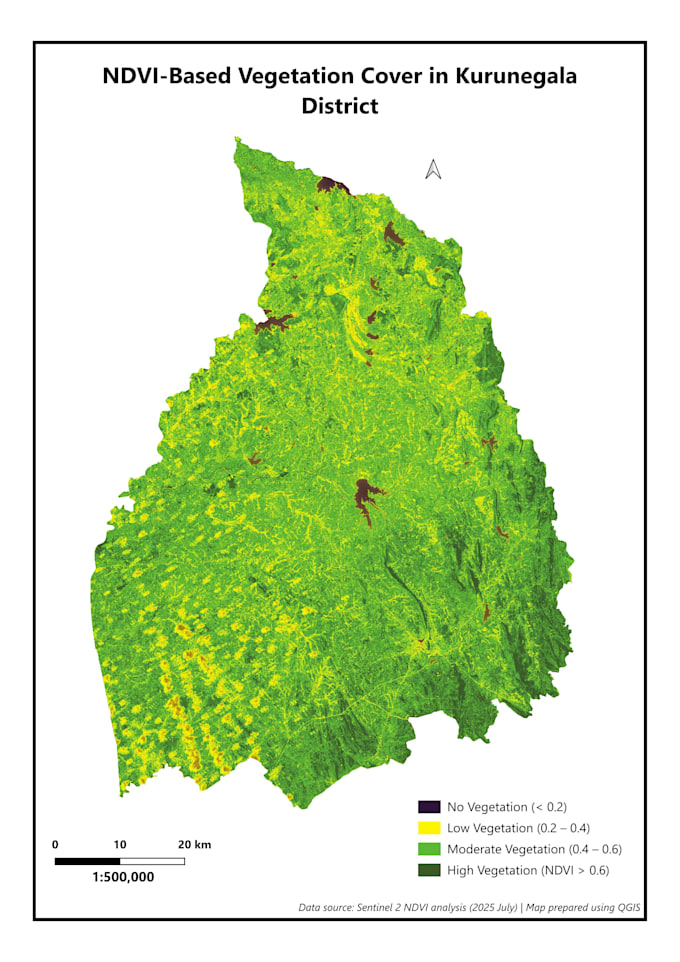
I provide NDVI-based vegetation cover mapping using satellite imagery and professional GIS workflows.
What this service includes
- NDVI calculation using Sentinel-2 satellite data
- NDVI-based vegetation condition classification
- Clean, professional, publication-ready map layout
- High-resolution outputs suitable for reports, theses, and presentations
Suitable for
- Environmental and forestry studies
- Agriculture and plantation analysis
- Academic research and student projects
- NGO and planning reports
Deliverables
- Classified NDVI vegetation map
- High-resolution PNG, JPG, or PDF output
Please note
- This service provides vegetation condition maps, not detailed land use classification
- Field validation, written interpretation, or time-series analysis are not included unless discussed in advance
Please contact me before ordering to confirm the study area size and requirements.