Browse categories
Explore
Fiverr Pro
English
$
USD
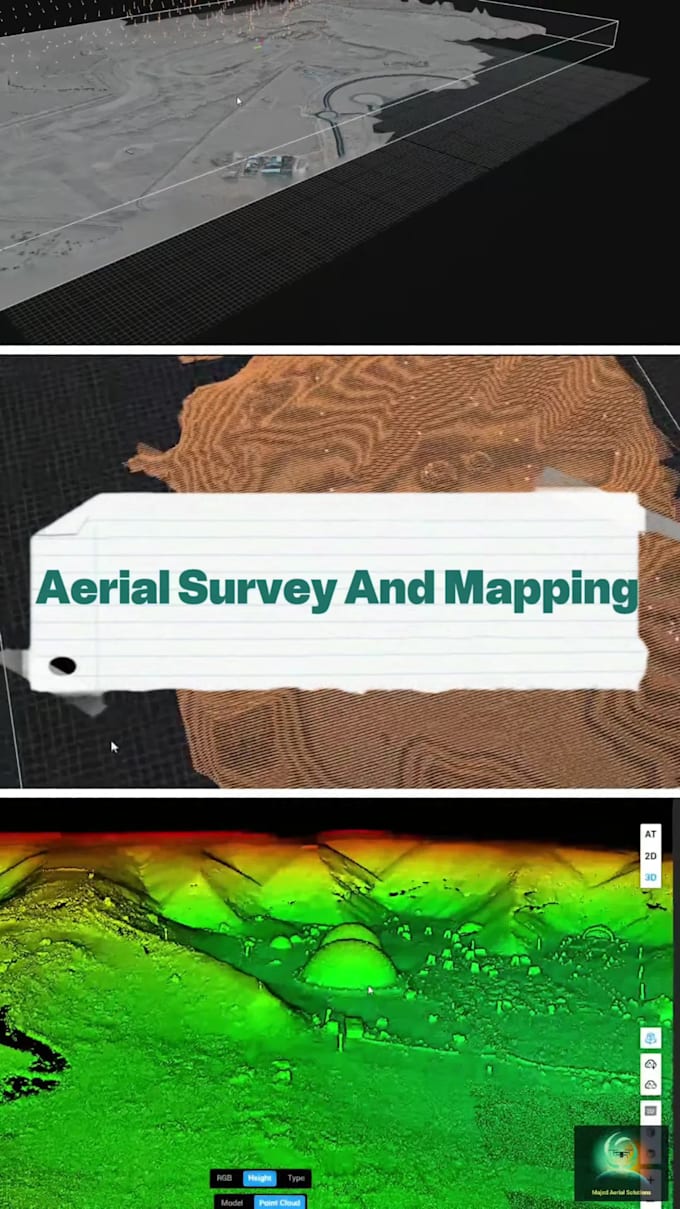
️ Accurate Aerial Mapping & Surveying with Drone
I offer professional drone mapping and surveying services using high-precision RTK drones for construction, agriculture, land development, and environmental analysis.
Services include:
2D & 3D maps
Orthomosaic (GeoTIFF)
DSM, DTM, Contours
LAS, DXF, and Point Cloud
Multispectral analysis (NDVI, GNDVI)
️ GACA Licensed Operator
️ High accuracy (RTK-enabled)
️ Delivery in formats ready for CAD, GIS, and Pix4D/RealityCapture
Message me before ordering to confirm project size, location, and deliverables.