Browse categories
Explore
Fiverr Pro
English
$
USD



Is your survey drawing causing delays, permit comments, or confusion?
A survey plan can contain inconsistent dimensions, missing information, outdated details, unclear boundary data, drafting errors, or differences between the survey and other project documents. These issues can create costly revisions and slow down the permit or project process.
I carefully review your submitted survey documents and provide clear findings and correction guidance.
What I Offer:
My goal is to help you identify problems early, reduce unnecessary revisions, and prepare your survey documentation for its intended project or permit use.
Send me your survey PDF, DWG, plat, deed, or related documents before ordering so I can review
Please inform the freelancer of any preferences or concerns regarding the use of AI tools in the completion and/or delivery of your order.
Licensed Land Surveyor, CAD, Site Plans And Survey Mapping
Languages
What do you need to review my survey drawing?
Please provide your survey PDF or CAD file, along with the property address, deed, plat, or project requirements if available.
What problems can you identify during the survey review?
I can identify apparent inconsistencies, missing information, dimension issues, labeling problems, drafting errors, and conflicts between related documents.
Can you review my survey before permit submission?
Yes. I can review the available survey documents and identify items that may need attention before you submit them for your intended project or permit.
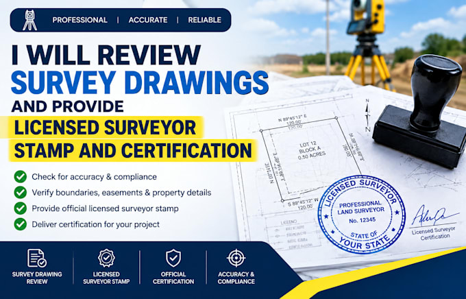
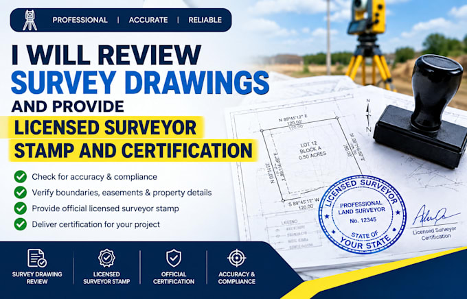
Can you sign, seal, or stamp my survey drawing?
Where legally permitted and within my professional scope, certification or stamping may be available. Please contact me first.
Can you provide a surveyor certification or permit letter?
Where applicable, I can provide professional certification or related documentation within the requirements and laws of the relevant jurisdiction. Please send the project details first.