Browse categories
Explore
Fiverr Pro
English
$
USD


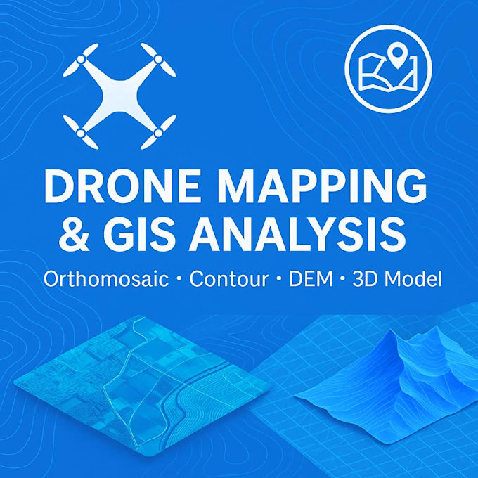
I will create professional drone mapping, GIS analysis, and contour maps for your project
Are you looking for accurate and high-quality mapping results from drone images or GIS data?
You are in the right place!
I specialize in:
Drone image processing (orthomosaic, DEM, DSM)
Topographic contour maps (custom intervals)
3D terrain & surface models
Slope, elevation & raster analysis
Cut and fill volume calculation
GIS mapping & geospatial analysis (ArcGIS)
Shapefile creation & digitizing
Mining, construction, land survey, agriculture mapping
What you will get:
* High-resolution maps (JPG, PNG, PDF, GeoTIFF)
* Accurate geospatial data
* Fast delivery
* Professional communication
* Files ready for GIS software / CAD / Surpac
Why choose me?
5+ years experience in drone survey & GIS
Mining & geospatial background
Output tailored to your project requirements
Reliable and detail-oriented results
Feel free to contact me before ordering.
I will be happy to discuss your project and provide the best solution for your mapping needs!
Mining Surveyor GIS And Drone Data Specialist
Languages
What data do you need from me?
I need drone images (JPG), GCPs if available, or GIS shapefiles depending on your project. You can send files through Google Drive, Dropbox, or WeTransfer.
Can you create contour maps with custom intervals?
Yes, I can generate contour lines with any interval you need (0.5m, 1m, 2m, 5m, etc.).
Do you calculate cut and fill volume?
Yes, I provide detailed cut and fill volume analysis for mining, construction, and earthwork projects.
What software do you use?
ArcGIS, Surpac, Global Mapper, and professional drone photogrammetry tools.
Can you handle large datasets?
Yes, I can process large datasets. Please message me first to confirm the file size and project details.