Browse categories
Explore
Fiverr Pro
English
$
USD


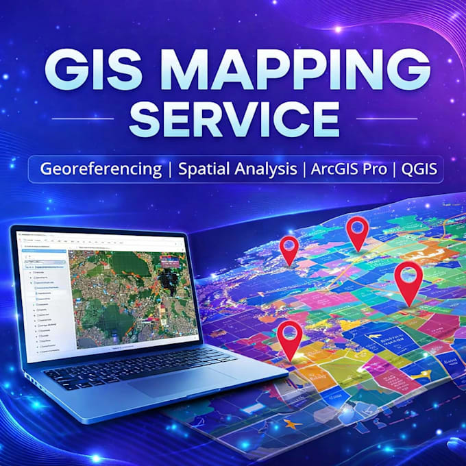
Are you looking for accurate GIS mapping, professional georeferencing, or advanced spatial analysis? Youre in the right place!
I provide high-quality GIS services using tools like ArcGIS Pro and QGIS to transform your geographic data into clear, precise, and visually appealing maps. Whether you need digitization, cartography, remote sensing, or data visualization, I ensure reliable and professional results.
With expertise in GIS mapping, georeferencing, and spatial analysis, I help businesses, researchers, and planners make data-driven decisions through powerful geographic insights.
I focus on delivering clean, modern, and accurate maps that are ready for reports, presentations, or real-world applications.
What You Will Get
️Professional GIS mapping outputs
️Accurate georeferencing of maps
️Clean and structured spatial data
️High-quality cartographic design
️Reliable and fast delivery
Why Choose Me?
️Expert in ArcGIS Pro & QGIS
️High accuracy and attention to detail
️Fast communication & delivery
️Custom solutions for every project
️Client satisfaction is my priority
️My Services Include
GIS mapping and visualization
Georeferencing raster images and maps
Spatial analysis
Please inform the freelancer of any preferences or concerns regarding the use of AI tools in the completion and/or delivery of your order.
GIS Mapping And Georefrencing
Languages
1. What software do you use?
I use ArcGIS Pro and QGIS for all GIS mapping and spatial analysis tasks.
2. Can you georeference old scanned maps?
Yes, I can accurately georeference scanned maps, PDFs, and images.
3. What file formats do you deliver?
I deliver in formats like PDF, PNG, SHP, GeoJSON, and more.
4. Do you provide editable GIS files?
Yes, I can provide fully editable GIS project files upon request.
5. Can you digitize hand-drawn maps?
Absolutely! I convert hand-drawn or scanned maps into digital GIS data.
6. Do you offer custom packages?
Yes, I can create custom offers based on your project requirements.
7. How long does delivery take?
Delivery depends on project complexity, but I offer fast turnaround options.