I will gis mapping, cartography and geospatial analysis

M
matarlafrougui
M
matarlafrougui
Matar L

About this gig

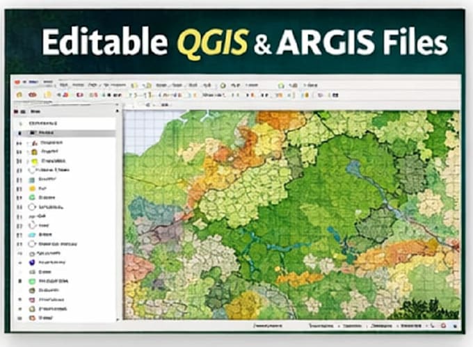
I will provide professional GIS mapping, cartography, and spatial analysis using QGIS and ArcGIS for environmental, forestry, land-use, and planning projects.

I am a Forest Engineer specialized in GIS and Cartography, with strong experience in creating accurate, clear, and decision-ready maps from spatial data.

Services Included

  • GIS mapping using QGIS & ArcGIS
  • Cartography (thematic maps, land-use, forest maps)
  • Spatial analysis (buffer, overlay, suitability, classification)
  • Map layout and visualization (professional design)
  • Data processing (Shapefile, GeoJSON, KML, GeoTIFF)
  • Mapping and visualization with Google Earth

Ideal For

  • Forestry & environmental studies
  • Land-use planning
  • Agriculture & natural resources
  • Research & academic projects

Please contact me before ordering to review your data and project needs.

Get to know Matar L

Matar L

Forest Engineer : GIS, Cartography and Photogrammetry

  • FromMorocco
  • Member sinceJan 2026
  • Avg. response time1 hour
  • Last delivery2 months
  • Languages

    English, French
I’m a Forest Engineer specialized in GIS, Cartography, and Geospatial Analysis, with strong experience in spatial data processing, mapping, and environmental analysis. What I do best: GIS analysis and cartography using QGIS & ArcGIS Spatial data visualization and mapping with Google Earth Object detection & analysis using YOLO for geospatial and drone data Photogrammetry & 3D mapping using Pix4D, Agisoft Metashape, and DJI Terra Processing drone imagery (orthomosaics, DEMs , point clouds) Forest, land-use, and environmental mapping projects