Browse categories
English
$
USD
Connect to your AI
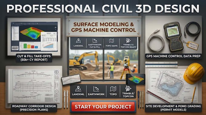
Looking for accurate, permit-ready 3D surface modeling or contractor-grade GPS machine control files? I specialize in AutoCAD Civil 3D surface modeling, earthwork cut and fill takeoffs, and LandXML GPS machine control file preparation for civil engineers and heavy-equipment contractors.
Core Services:
Why Choose Me:
Contact me today with your project files to get started!

Project scale:
City
Building type:
Commercial
•
Industrial
•
Other
Material speciality:
Concrete
•
Other
Please inform the freelancer of any preferences or concerns regarding the use of AI tools in the completion and/or delivery of your order.
What file formats do you need to create a 3D surface model or machine control file?
I accept 2D/3D DWG drawings, PDF site plans, raw survey point data (.CSV, .TXT), LandXML files, or drone point cloud data (.LAS, .RCS).
What formats will I receive for my GPS machine control equipment?
You will receive clean LandXML (.xml) files as standard, along with DXF 3D polylines and native Civil 3D DWG models compatible with Trimble, Topcon, and Leica systems.
Can you perform cut and fill earthwork volume calculations from 2D PDF plans?
Yes. I digitize 2D PDF grading plans into dynamic 3D Civil 3D surfaces to generate precise cut and fill volume takeoff reports for contractor bidding.
: How do you ensure there are no spikes or errors in the machine control surface?
Every surface goes through strict quality control: breakline validation, outer boundary enforcement, and contour swapping to ensure zero elevation anomalies on-site.
Can you align the Civil 3D surface model with Revit BIM shared coordinates?
Absolutely. I configure shared coordinate systems and survey points to ensure your horizontal civil surface aligns seamlessly with architectural Revit models.
