Browse categories
Explore
Fiverr Pro
English
$
USD

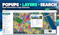
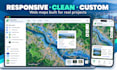


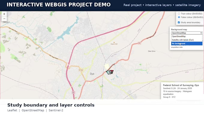
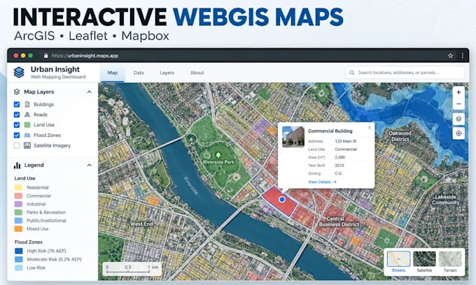
Need a professional WebGIS or interactive map that makes your spatial data easy to explore?
I will create a responsive WebGIS solution using ArcGIS Online, Leaflet, or Mapbox for websites, research, real estate, agriculture, planning, surveying, and environmental projects.
MY SERVICES:
WHY CHOOSE ME?
Advanced databases, live tracking, APIs, 3D maps, or complex dashboards require a custom offer.
Send your spatial data and required WebGIS features before ordering. I will help you choose the right package and turn your location data into an interactive map people can understand and use.
Send your GIS data and feature list today!!
Lets build a clear, professional WebGIS map that fits your project.
GIS Expert
Languages
What is WebGIS and what is an interactive web map?
WebGIS is a map-based application delivered through the web. An interactive map lets users explore spatial data through clickable features, popups, layers, search tools, legends and filters instead of viewing only a static map image.
Which GIS data formats can I send for my WebGIS project?
You can send GeoJSON, KML/KMZ, GeoPackage, CSV with coordinates, or a complete zipped Shapefile. If your project uses raster data or another spatial format, message me first so I can confirm the best workflow.
Can you build my interactive map with ArcGIS Online, Leaflet, or Mapbox?
Yes. I can create the web map with ArcGIS Online, Leaflet, or Mapbox depending on your data, required functions and preferred delivery. If a paid account, token, API or licence is needed, it remains the buyer’s responsibility.
Can you clean or convert Shapefile, GeoJSON, KML, or CSV data?
Yes. Light GIS data preparation and format conversion can be included depending on the package. Large, incomplete, poorly structured or complex spatial datasets may require an extra or custom offer.
Can the WebGIS map be embedded into my website?
Yes. I can prepare a web map for embedding or assist with website integration where the platform allows it. Please tell me your website platform and access limitations before ordering.
Can you add markers, routes, boundaries, popups, labels, and filters?
Yes. Your interactive map can include styled points, routes, polygons, labels, tooltips, popups, legends, layer controls, search and basic filters according to the package and agreed scope.
Will the interactive map work on mobile devices?
Yes. The WebGIS interface will be designed to be responsive for common desktop and mobile screen sizes, subject to the features and platform selected for the project.
Will I receive the WebGIS source files?
Yes. You will receive the agreed source files for the project. Third-party licences, hosting, paid APIs, premium basemaps, ArcGIS subscriptions or Mapbox usage charges are not included unless stated in the offer.
Do you develop live tracking, databases, 3D WebGIS, or complex GIS dashboards?
These are advanced WebGIS features and are not automatically included in the listed packages. Send the full technical requirements first so I can review the scope and provide a custom offer if I can support it.
Should I contact you before ordering an interactive map?
Yes. Please send your GIS data, preferred platform, required web mapping features, intended use and deadline first. This helps confirm the correct package and prevents scope or delivery problems after the order starts.