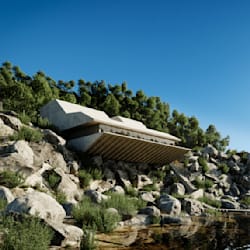
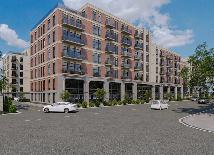
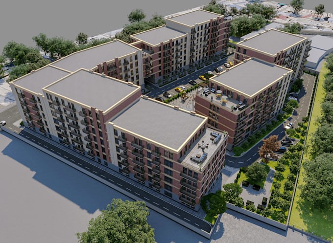
I will create cesium 3d buildings model and terrain, geospatial 3d tile, webgis 3d tile

M
matimiloj
M
matimiloj
Mati Miloj

About this gig

Hello, I am a professional GIS Analyst with several years of experience in GIS and RS. I specialize in transforming spatial data into accurate, meaningful, and visually clear maps and geospatial.


My Skills are as these:

  • ^ Cesium 3D Buildings
  • ^ Cesium 3D Tiles
  • ^ 3D GIS Mapping
  • ^ Cesium Terrain Tiles
  • ^ Interactive 3D Map
  • ^ Cesium 3D Terrain
  • ^ Geospatial 3D Tiles
  • ^ WebGIS 3D Tiles
  • ^ 3D City Modeling
  • ^ DEM to 3D Terrain
  • ^ 3D Building Modeling
  • ^ WebGIS Building Models
  • ^ Geospatial 3D Modeling
  • ^ 3D Terrain Modeling
  • ^ CesiumJS Development
  • ^ 3D GIS Visualization
  • ^ 3D Geospatial Mapping
  • ^ Cesium 3D Visualization
  • ^ 3D Terrain Modeling
  • ^ Digital Terrain Model (DTM)
  • ^ Digital Elevation Model (DEM)
  • ^ Digital Surface Model (DSM)


Different Category:

Cesium- CesiumJS, Cesium ion, 3D Tiles, 3D Tileset

GIS data- Shapefile, GeoJSON, GeoPackage, KML

Terrain- DEM, DSM, DTM, TIN, terrain mesh

3D formats- GLB, GLTF, OBJ, FBX, B3DM

Geospatial- CRS, EPSG, UTM, georeferencing

3D city models- CityGML, CityJSON, LoD1, LoD2, LoD3

Data sources- LiDAR, point clouds, satellite imagery, aerial imagery

WebGIS- CesiumJS, OpenLayers, Mapbox, 3D visualization

Service verification and delivery style preference

Fiverr does not screen freelancers in this category. Please verify qualifications and discuss requirements with the freelancer before ordering, including any preferences regarding the use of AI tools.

Get to know Mati Miloj

Mati Miloj

Interior Designer ll Exterior Design

  • FromUnited Kingdom
  • Member sinceNov 2026
  • Languages

    Italian, English, Spanish, French, German, Arabic, Hebrew
Greetings! I am an Architect, GIS 3D modeling specialist, and architectural visualizer with expertise in creating accurate georeferenced 3D building and city models from GIS data. I specialize in transforming shapefiles, GeoJSON, LiDAR point clouds, and GIS building footprints into detailed georeferenced 3D building models, urban environments, and city models. Whether you need a single building model or an entire city, I can deliver 3D models suitable for GIS applications, urban planning, digital twins, and architectural visualization. Let's transform your GIS data