Browse categories
Explore
Fiverr Pro
English
$
USD


Conversion of your provided spatial data (KML, CSV, SHP, GeoJSON) into 1 professional layout map. Includes clean cartographic elements (legend, scale bar, north arrow) exported in high-resolution PDF or PNG format. Ideal for basic site locations or simple spatial plotting.
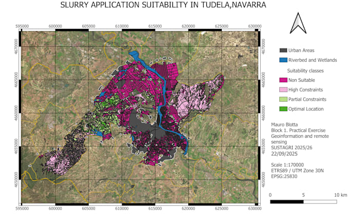
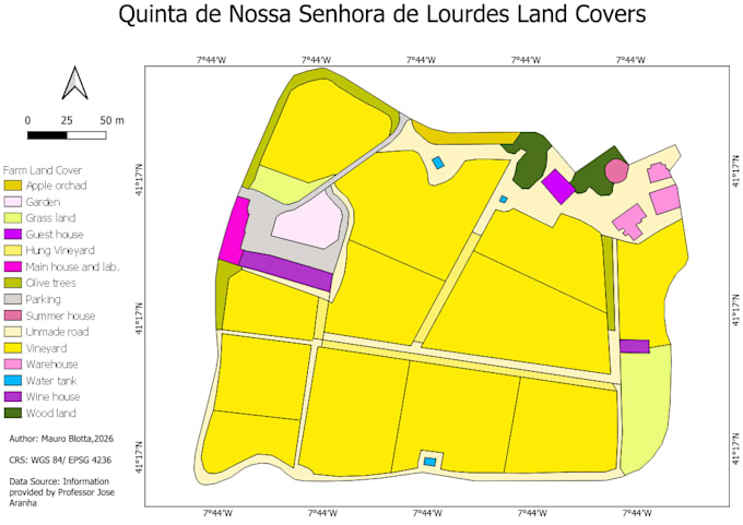
Up to 3 high-quality thematic GIS maps featuring customized symbology, advanced labeling, coordinate grids, and tailored layout design. Perfect for multi-layer spatial visualization, field studies, or technical documentation requiring clear, professional maps. Includes source files.
Complete spatial analysis workflow including raster/vector processing, density analysis, overlays, or satellite indices (like NDVI). Delivers up to 5 comprehensive maps, spatial metrics, and technical summaries tailored for environmental, agricultural, or research applications. Includes full source files.
Agricultural Engineer ,GIS, Remote Sensing and Precision Agriculture
Languages
What data do I need to provide?
You can provide shapefiles, GeoJSON, KML/KMZ, CSV files with coordinates, Excel spreadsheets, satellite imagery, or any other spatial data. If you are unsure about your data format, feel free to contact me before ordering.
What software do you use?
I work with QGIS, ArcGIS, Google Earth Engine, Python, and other geospatial tools depending on the project requirements.
Can you create maps for agriculture and environmental projects?
Yes. As an Agricultural Engineer, I can create maps and perform geospatial analysis for agriculture, irrigation, land use, environmental monitoring, and research projects.
What file formats will I receive?
Depending on your needs, I can provide PDF, PNG, JPEG, TIFF, SHP, GeoJSON, KML/KMZ, and other GIS-compatible formats.
Can you perform custom GIS analysis?
Yes. I can assist with spatial analysis, data processing, map creation, remote sensing applications, and other custom GIS tasks. Please contact me before ordering for complex projects.
Do you work with satellite imagery?
Yes. I can process and analyze satellite imagery using GIS software and Google Earth Engine for agricultural, environmental, and research applications.