Looks Like This Service Is On Hold

I will create digital terrain model 3d model using lidar data

M
mhertz_gis
M
mhertz_gis
mhertz_gis

About this gig

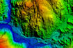
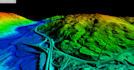
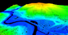
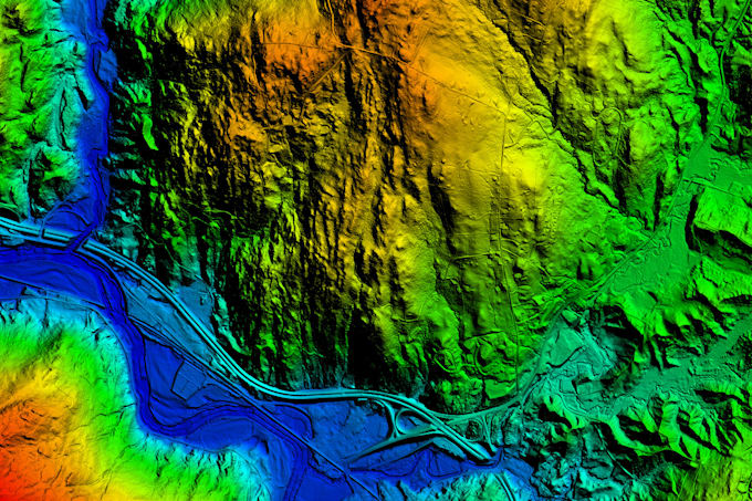
I will process the LiDAR data (provided by the Client) to generate Digital Elevation Model (DEM), Digital Terrain Model (DTM) and Contour. With the help of DEM, I will orthorectify the image (provided by the Client) for generating Orthorectified Image.

Get to know mhertz_gis

mhertz_gis

GIS, Remote Sensing, Drone, LiDAR, Python

  • FromIndia
  • Member sinceJan 2022
  • Languages

    Hindi, English
I am GIS and Remote Sensing Professional (9+ years of experience). I provide following services for various applications: -Python based Geospatial Analysis/Processing Scripts -Satellite/Drone/UAV/ Lidar image processing -3D Surface Modeling, Digital Elevation Modeling (DEM, DSM, DTM) -Topographic & Contour Mapping -Watershed/Drainage Mapping -Digitization and Data Conversion -Spatial Analysis & Model Builder -Environmental Impact Assessment Mapping -Research and Analysis -Client specific Mapping/Analysis I am proficient in following software: ArcGIS ERDAS ENVI GLOBAL MAPPER PiX4D Agisoft