Browse categories
Explore
Fiverr Pro
English
$
USD

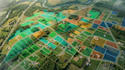
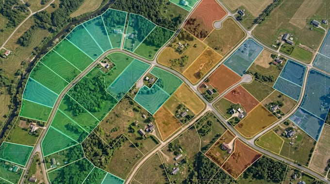
I create organized land and property maps that help clients present parcel boundaries, plot arrangements, and ownership-related information in a clear visual format.
Whether you need a map of an individual property or a layout showing multiple land parcels, I can prepare a map based on your supplied information.
MY SERVICE INCLUDE
o begin, send your available coordinates, parcel data, property documents suitable for mapping, or an existing reference map. Please identify the features you want shown and your preferred output format.
The final scope depends on the quality of the source data and the number of parcels involved. Contact me before ordering if your project involves a large property area or complex parcel arrangements.
My service focuses on visual mapping and spatial data presentation, not legal certification or licensed land surveying.
Please inform the freelancer of any preferences or concerns regarding the use of AI tools in the completion and/or delivery of your order.
Map designer and cartographer
Languages
What information do you need to create a property map?
Please provide the property location, parcel information, coordinates if available, and any reference maps or documents containing the information to display.
Can you create maps showing multiple land parcels?
Yes. I can show multiple parcels with separate boundaries, plot identifiers, labels, and a legend based on the supplied data.
Can you include land ownership information?
Yes. I can display ownership details supplied by the client, but I do not independently certify ownership or legal title.
Can you create a map from coordinates?
Yes. Coordinates can help position parcels and other geographic features accurately when the coordinate system and source data are suitable.
Can you map a large estate or development?
Yes, subject to the project scope, available data, and complexity. Please contact me first so the work and price can be agreed upon.