I will make topographic map, topographic survey and contour map

M
micheal_wilk
M
micheal_wilk
Surveyor Mike

About this gig

Hello,


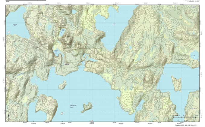
Are you in need of a professional topographic survey?


You've come to the right place!


I am an experienced RS GIS Specialist and Geodetic Expert, with over 10 years in engineering consultancy.


What I Will Do:

  • Create topographic maps in AutoCAD and Civil 3D, complete with contours for calculating cut/fill earthwork quantities, grading, and more.
  • Professionally convert your topographic survey data into CAD format.
  • Edit or modify any part of an existing drawing.
  • Generate alignments or cross-sections on surface models or contours.
  • Scale any drawing and correct dimensions, displaying contours, elevations, slopes, slope arrows, and color maps.
  • Create 3D surfaces from survey data and provide construction details.


What I Offer:

  • High-quality embroidery digitizing
  • 100% customer satisfaction
  • Unlimited revisions
  • Online support


I am committed to delivering high-quality work with complete satisfaction!


Delivery style preference

Please inform the freelancer of any preferences or concerns regarding the use of AI tools in the completion and/or delivery of your order.

Get to know Surveyor Mike

Surveyor Mike

EXPERIENCED AND PROFESSIONAL LAND SURVEYOR

  • FromUnited States
  • Member sinceMay 2025
  • Languages

    English
Hi, I’m Micheal Wilkerson, a professional land surveyor with extensive experience in topographic surveys, boundary analysis, site layout, and construction staking. With a solid background in GIS, CAD, and GPS technologies, I provide precise and reliable survey data for residential, commercial, and infrastructure projects. I’m committed to delivering accurate results, fast turnaround, and expert insights to support planning, design, and development. Let’s bring clarity to your land.

Other Landscape Design Services I Offer