I offer the following services:
- Digitizing, Georeferencing and vector editing and data cleanup (Points, Lines, an Polygons)
- Data management and data conversion (Shapefile, GeoJSON, KML/KMZ, CSV, GPX, Geopackage)
- GeoDatabase workflows
- Geology Maps, Lineament & Drainage extraction
- Desktop mapping and Technical writing of GIS Project Methodology
- Spatial analysis (buffer, overlay, clip, intersect, hotspot, density, suitability, network, proximity)
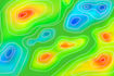
- Remote Sensing and Raster analysis (DEM, Terrain, Contour, Slope, Satellite image processing)
- Web mapping and WebGIS using Leaflet, Openlayers, Geoserver, Mapbox
- GIS programming and scripts, Geocoding & reverse Geocoding, Geopandas
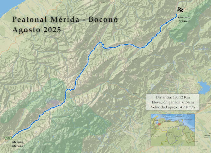
- Cartography and professional map layout design
Deliverables:
- High-quality maps and visuals (thematic, reference, research)
- Print-ready, decision-ready outputs
- Reports and presentations
Why choose me?
- 24/7 support
- Flexible pricing
- Long-Term Relationships & Ongoing Support
- High-Quality Work & Outputs
- 100% Satisfaction Guaranteed
For custom projects or inquiries, feel free to inbox me.
Please message me before placing an order.