Browse categories
Explore
Fiverr Pro
English
$
USD

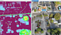
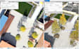
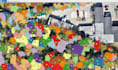
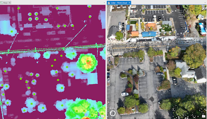
Do you need accurate per-tree mapping and analysis from LiDAR data and ortho image?
I specialize in Individual Tree Crown (ITC) Delineation, turning raw LiDAR point clouds into actionable spatial data for forestry, agriculture, and environmental projects.
What you will get:
Applications include:
Deliverables:
With my expertise in LiDAR, GIS, and remote sensing, I can provide precise, reliable, and professional results for your project.
Languages
What type of input data do you need?
I can process raw LiDAR point clouds (.las/.laz), drone photogrammetry outputs, or pre-processed DSM/DTM rasters. If you have multiple datasets from different dates, I can also run change detection.
How accurate are the tree crowns and attributes?
Accuracy depends on the resolution and quality of your LiDAR data. With high-density LiDAR, crown delineation and tree height estimates are highly reliable (±10–20 cm).
Can you deliver results in a specific GIS/CAD format?
Absolutely. Standard outputs are Shapefile, GeoJSON, CSV, but I can also provide DXF, KML, or ESRI Geodatabase upon request.
What if my dataset is smaller/larger than the package limit?
No problem. Just send me a sample of your data, and I’ll create a custom offer tailored to your project size.