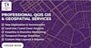
I will do map digitization and change detection in qgis

M
miruna_andreea2
M
miruna_andreea2
MirunaAndreea

About this gig

Do you have historical maps or satellite images that you need to compare or convert into digital data? I am a GIS specialist providing professional digitizing and change detection services using QGIS.

My Expertise includes:

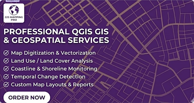
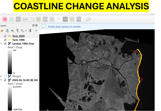
  • Temporal Change Detection: Mapping changes over time (coastline erosion, forest loss, urban expansion).
  • Map Digitizing: Converting scanned maps or aerial photos into Shapefiles, KML, or GeoJSON.
  • Vectorization: Precise tracing of land features, parcels, and infrastructure.
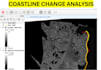
  • Coastline Monitoring: Detailed analysis of coastal shifts (as shown in my portfolio).
  • Professional Map Layouts: Exporting high-quality PDF/PNG maps with legends.

Note: Please contact me before placing an order so we can discuss the specifics of your project!

Get to know MirunaAndreea

MirunaAndreea

Cartograpgy GIS student

  • FromRomania
  • Member sinceDec 2024
  • Languages

    English
GIS & Cartography Specialist | Data Conversion Expert Hi! I'm a Cartography/GIS student specialized in map digitization, spatial analysis, and data conversion. I deliver fast, high-quality results tailored to your project needs. Services: Precise Map Digitization & Georeferencing Spatial Data Analysis Format Conversions Accurate Text Transcription (Digital Format) I value clear communication and strict deadlines. Open to new ideas and custom requests. Let’s get to work!

My Portfolio

Other Data Visualization Services I Offer