Browse categories
Explore
Fiverr Pro
English
$
USD


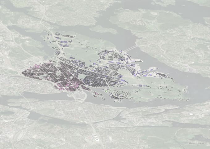
Need your CAD drawings converted into usable GIS data or a professional map for your project? I can help.
I'm a GIS Analyst experienced with ArcGIS Pro and QGIS, specializing in urban and city planning projects.
WHAT I OFFER
1. CAD to GIS Conversion
2. Format Conversion
3. Map Production
WHAT YOU WILL RECEIVE
BEFORE ORDERING
Please message me with a sample of your files, target format, and required coordinate system, if known. This helps me confirm the scope and delivery time.
Let's turn your data into something useful.
Senior GIS Analyst
Languages
What CAD formats do you accept?
DWG and DXF mainly. Please tell me the version if you know it.
Can you deliver in a specific coordinate system?
Yes. Send me the EPSG code or the name of the system and I’ll reproject the data.
Do I need ArcGIS to open the files?
No. Shapefile, GeoJSON and GPKG open for free in QGIS.
Can you handle large files?
Yes, but please message me first so I can estimate the time.