Browse categories
English
$
USD
Connect to your AI



Hello and welcome to my gig!
Are you looking for a beautifully designed historical, museum, or educational map? You're in the right place!
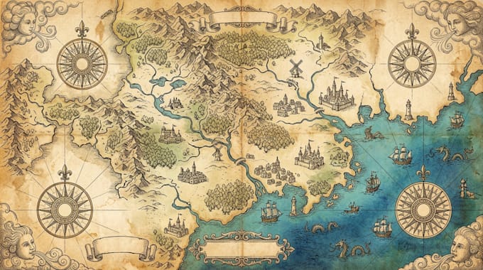
I create historical maps, museum maps, educational maps, and atlas illustrations that present geographical information, historical events, and important locations in a clear and visually engaging way.
My services include:
I focus on clear cartographic presentation, attractive illustrations, organized geographical details, and professional designs based on your supplied information and references.
Have a project in mind? Please message me before placing your order so we can discuss your requirements and choose the best approach for your map.
Please inform the freelancer of any preferences or concerns regarding the use of AI tools in the completion and/or delivery of your order.
Professional map designer
Languages
What information do you need to start?
Please provide your map topic, existing map or reference images, geographical locations, historical information, important landmarks, and preferred design style.
Can you create antique and vintage-style historical maps?
Yes, I can create historical map illustrations with vintage styling, traditional cartographic details, decorative elements, and an aged-paper appearance.
Can you design maps for museums?
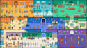
Yes, I can create museum visitor maps, exhibition maps, historical displays, and illustrated location guides.
Can you create educational maps for schools and universities?
Yes, I can design educational geography maps, historical maps, regional maps, and atlas illustrations for learning and teaching purposes.
Can you recreate an old historical map?
Yes, I can recreate or improve the visual presentation of an existing historical map using your supplied reference.
Which file formats do you provide?
I provide PNG and JPG files. PDF and editable vector formats can also be arranged depending on the selected package.