Browse categories
English
$
USD
Connect to your AI


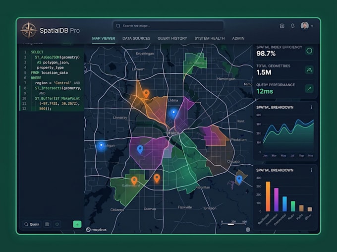
Is your map app slow? Are you storing location data as plain latitude/longitude columns and facing performance issues at scale?
I design and build production-grade spatial databases using PostgreSQL and PostGIS the industry standard for geospatial data storage, querying, and analysis.
WHAT I BUILD
Whether you're building a new mapping application or optimizing an existing one, I can help you achieve fast, reliable, and scalable geospatial performance.
MY STACK
WebGIS and Full Stack Developer, Mapbox, PostGIS
Languages
My app already uses lat/lng columns, can you migrate it to PostGIS?
Yes. I'll convert your existing columns to PostGIS geometry types, add spatial indexes, and rewrite your queries — all without data loss
Can you work with existing databases or only new projects?
Both. I can audit and optimize an existing schema or design a new one from scratch.
What if I have a large dataset, CSV or Shapefile with 100,000+ records?
That's where PostGIS shines. I'll import, index, and optimize it for fast spatial queries regardless of size.
Do you provide the database or do I need my own server?
You'll need your own database, I recommend Neon or Supabase for easy managed PostgreSQL with PostGIS support I'll guide you through setup.
Can you build the API too, not just the database?
Yes — the Standard and Premium packages include a full GeoJSON REST API ready to connect to your Mapbox or Leaflet map.