I will do gis mapping, interactive mapping, web gis solutions, maps

M
muhammad_saqibj
M
muhammad_saqibj
Muhammad Saqib

About this gig

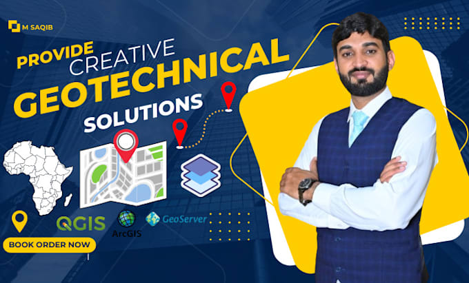
Welcome to my GIS world!


I'm M. Saqib, a dedicated professional offering a comprehensive range of geospatial services with over 5 years of experience.

Whether you need precise GIS analysis, detailed mapping, advanced cartography, or remote sensing/photogrammetry processing, I have the skills and expertise to deliver outstanding results.


My Expertise and Services:


  • GIS Specialist: Accurately identify properties by considering zoning, proximity, and other essential factors, ensuring smarter real estate investments.
  • Web GIS Applications: Enhance your projects using Web GIS applications that leverage geospatial data for dynamic mapping, visualization, and spatial analysis.
  • Mapping and Cartography: Crafting accurate, visually engaging maps and cartographic representations.
  • Satellite Imagery Interpretation and Processing: Skilled in interpreting and processing satellite imagery, extracting valuable insights tailored to your project needs.
  • Digitization: Providing expert digitization services, transforming analog maps and spatial data into digital formats for enhanced analysis and use.


Ready to transform your project with geospatial insights? Let's connect!

Delivery style preference

Please inform the freelancer of any preferences or concerns regarding the use of AI tools in the completion and/or delivery of your order.

Get to know Muhammad Saqib

Muhammad Saqib
5.0(1)
  • FromPakistan
  • Member sinceJun 2022
  • Last delivery2 years
  • Languages

    English, Urdu
GIS Professional for providing all GIS Services for understand patterns, relationships, and geographical Informative context. GIS offers the power to understand and visualize relationships, analyze changes over time, and predict trends within an area of interest. I will provide for showing different kinds of data on one map. This enables users to more easily see, analyze and understand geographic patterns and relationships. I have many skills some of which are: ► Geographic information systems (GIS) - ArcGIS Desktop - QGIS - Google Maps - Google Earth - Erdas Imagine - Remote Sensing