Hello,
I am a geography graduate and have experience in digitizing spatial data from various sources. You can request work from ArcGis or from QGIS. Apart from that, you can choose the output in the form of a shapefile or geodatabase.
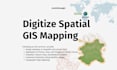
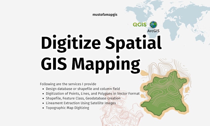
Following are the services I provide
- Design database or shapefile and column field
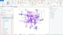
- Analyze spatial and non-spatial information
- Standardize geographic data
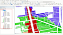
- Digitization of Points, Lines, and Polygons in Vector Format
- Shapefile, Feature Class, Geodatabase creation
- Lineament Extraction Using Satellite Images
- Topographic Map Digitizing
- Scanned Images Digitizing
- Digitizing photos and images
- Digitizing Plans, AutoCAD drawings, etc.
- File conversion from a Shape File to AutoCAD or AutoCAD to Shape Files and much more
- Review GIS data for accuracy
Let's Discuss and Contact me before Hiring.