Browse categories
Explore
Fiverr Pro
English
$
USD

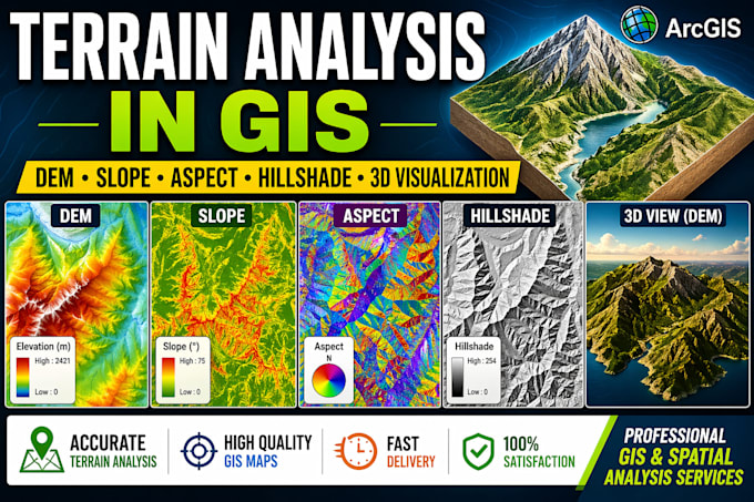
Are you looking for accurate and professional terrain analysis maps for your research, engineering, environmental, mining, or land-use planning project? You are in the right place.
I am a professional Geologist and GIS Analyst with extensive experience in spatial data analysis and map production. I will create high-quality terrain analysis maps using ArcGIS or QGIS based on your DEM or elevation data.
Services I Offer:
Digital Elevation Model (DEM) Maps
Slope Analysis Maps
Aspect Maps
Hillshade Maps
Contour Maps
Elevation Profiles
Terrain Visualization
Watershed & Drainage Analysis
Customized Map Layouts with Legend, North Arrow & Scale Bar
High-Resolution PDF, PNG, JPG, and GIS project files (if required)
Applications:
Why Choose Me?
Miss
Languages