Welcome to your professional Geospatial and GIS solution. If you need clean maps, detailed spatial analysis, or accurate data conversion, you are in the right place. I deliver high-quality, precise spatial data products tailored to your project requirements.
My Core GIS Services:
- Map Digitization: Converting paper maps, PDFs, or JPEG images into clean vector layers (Shapefile, KML, GeoJSON).
- Spatial Analysis: Proximity analysis, buffer creation, heat maps, and land-use mapping.
- Geospatial Data Cleaning: Organizing messy Excel coordinate files (Latitude/Longitude) into flawless map layers.
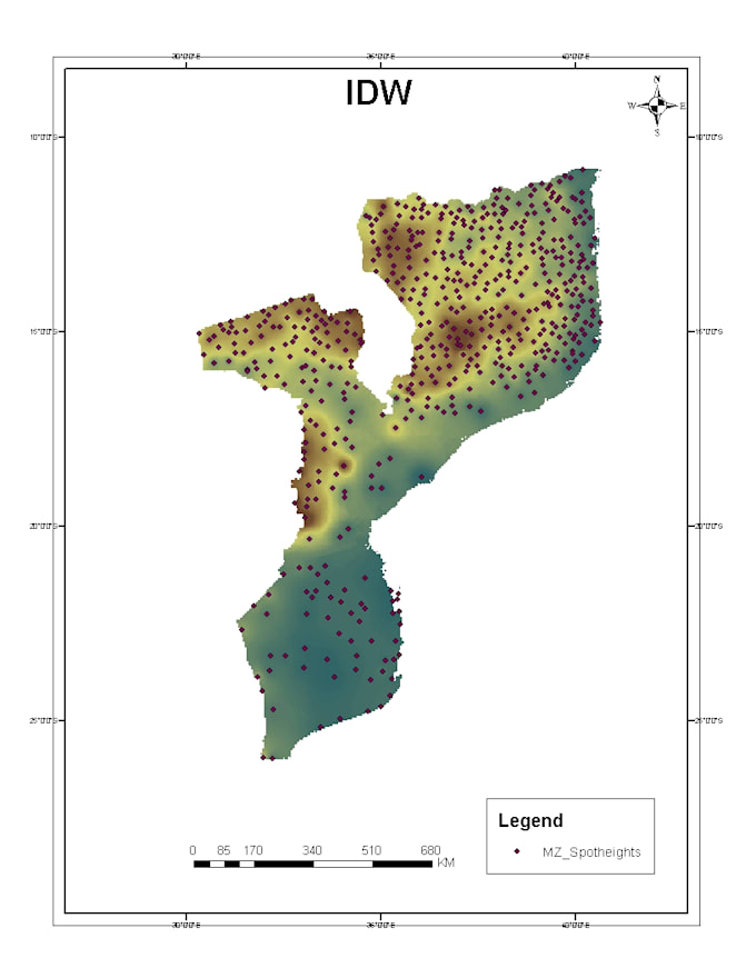
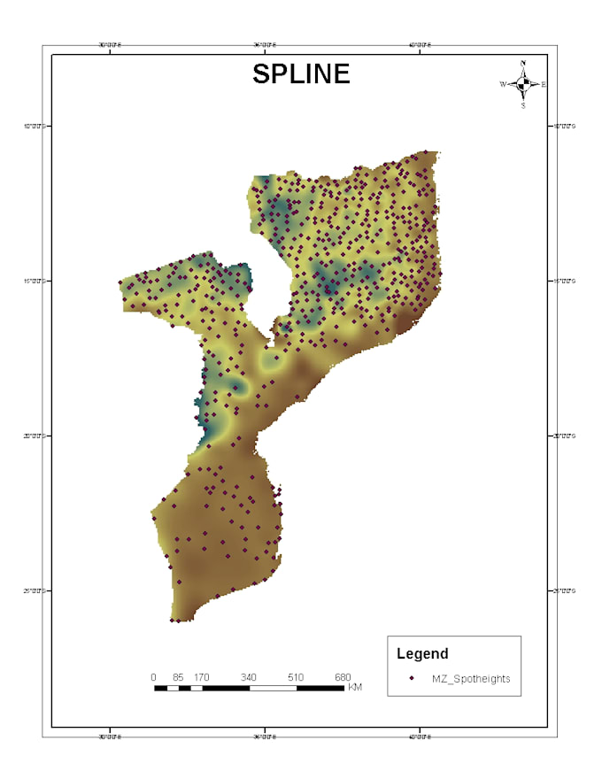
- Cartographic Design: Creating professional, presentation-ready thematic maps for real estate, research, or business presentations.
Software and Tools I Use:
- ArcGIS Pro & ArcMap
- QGIS (Quantum GIS)
- Google Earth Pro
- Mapbox
Why Choose My Services?
- Precise, high-accuracy spatial tracking and layout designs.
- Source files included across all packages.
- Clear communication and fast delivery.
Please contact me before placing an order so we can discuss your specific dataset and mapping needs!