I will gis map, vector map, and do spatial analysis
N
N
naveedgis
Level 1
Full Screen
Full Screen
Full Screen
About this gig
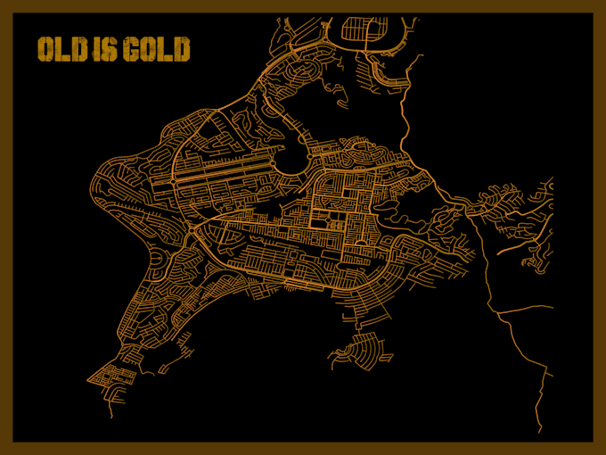
I will Map Your World for only 10$.
I have BS degree in Geographic Information System(GIS) and Remote Sensing (GEOMATICS).
I will make full interactive maps with full layout to meet your requirements.
I will generate new maps from existing maps photos if the photo have their latitude and longitude mention in the photo.
I can generate new maps from a scratch file you will provide using the digitizing (Editing) techniques.
I will make maps with full layout, Legends, scale and Location information's.
My maps must be able to print according to their layout.
I will also give you the source files of the maps as a shapefiles(,shp).
My work will also let you to check the accuracy of the maps by using their .kmz files in Google Earth.
THANK YOU
Image file format
AI
JPG
PDF
PNG
PSD
PPT
KEY
Delivery style preference
Please inform the freelancer of any preferences or concerns regarding the use of AI tools in the completion and/or delivery of your order.
Get to know naveedgis
naveedgis
GIS and Remote Sensing Specialist
5.0(7)
Level 1
FromPakistan
Member sinceApr 2017
Avg. response time1 hour
Last delivery1 month
Languages
English
I am a dedicated GIS and Remote Sensing Specialist with 9+ years of experience delivering high-quality geospatial solutions. My expertise includes interactive mapping, spatial analysis, Python programming, forest mapping, change detection, agricultural mapping, and geological data visualization. I have successfully completed projects in oil & gas, healthcare, urban planning, hydrology, and environmental monitoring. Using advanced GIS and remote sensing techniques, I help clients transform complex spatial data into accurate, insightful, and decision-making solutions.