Browse categories
Explore
Fiverr Pro
English
$
USD


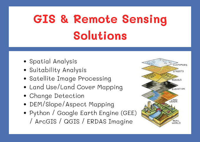
Are you looking for expert GIS and Remote Sensing services tailored to your specific needs?
You're in the right place!
I'm a qualified geospatial professional with hands-on experience in:
Whether you're a researcher, company, student, or planner, Ill deliver high-quality, publication-ready maps, spatial analysis, and reports that meet your goals. I ensure accurate results, fast delivery, and excellent communication.
Lets solve your geospatial problem together!
Grounded in Science, Guided by Soul
Languages
Can I adjust the price based on my project requirements?
Yes, definitely! If your project is unique or doesn't exactly match the listed packages, feel free to contact me. I’ll review your needs and offer a custom quote that fits your budget and project scope.
Can you help with academic or research projects?
Absolutely! I’ve assisted students, researchers, and professionals with thesis maps, journal-ready figures, and spatial analysis. I ensure high-quality visuals, proper methodology, and well-explained outputs suitable for academic submission.
Is a written report included with all packages?
A detailed written report is included only in the Premium (3rd) package. However, if you choose the Basic or Standard package and would like a report, I can provide one for an additional charge. Just let me know your requirements, and I’ll send a custom offer accordingly.