Browse categories
English
$
USD
Connect to your AI


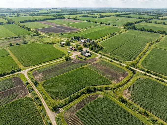
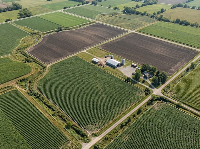
Need a clear and organized map of your agricultural land or farm property? I create agricultural land maps and farm layouts that help present farmland, field arrangements, property boundaries and important site features in a clear visual format.
MY SERVICE INCLUDE
Whether you need a farm boundary map, field division plan, agricultural , crop field layout or a detailed GIS mapping presentation, I can helpland-use map organize your available spatial information into an informative map.
I work with available coordinates, satellite imagery, GIS datasets and CAD files. The final map can be prepared for farm planning, land management, agricultural documentation or project presentation.
Share your project details and available data before ordering so we can agree on the required mapping scope.
Please inform the freelancer of any preferences or concerns regarding the use of AI tools in the completion and/or delivery of your order.
GIS Map designer
Languages
What types of agricultural maps do you create?
I create agricultural land maps, farm boundary maps, field layouts, crop field maps, land-use maps, irrigation layouts and farm access maps.
Can you map an entire farm property?
Yes. I can map the overall farm area, boundaries, internal fields, access roads and other features using the available project information.
Can you work with coordinates or satellite imagery?
Yes. You can provide coordinates, satellite imagery, shapefiles, KML, KMZ, GeoJSON, CAD files or other available spatial data.
Can you divide farmland into separate fields?
Yes. I can create field divisions and layouts based on the boundaries and instructions you provide.
Do you provide land-use and spatial analysis?
Yes. Depending on the available datasets, I can prepare land-use maps, vegetation maps, terrain maps and other spatial analysis outputs.
What file formats can you deliver?
I can provide PDF, PNG, JPG and supported GIS formats. Editable project files can be included according to the agreed package.