Browse categories
English
$
USD
Connect to your AI


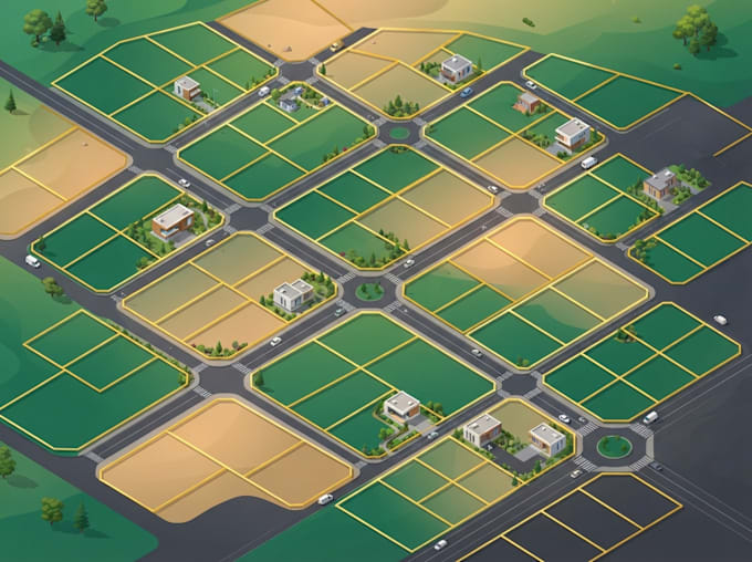
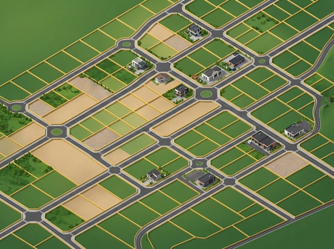
I create clear and organized parcel maps and cadastral GIS layouts that present land parcels, boundaries and related geographic information in an easy-to-understand format. Accurate parcel information is important when presenting land divisions, identifying individual plots and organizing cadastral records.
MY SERVICE INCLUDE
I can work with suitable survey plans, parcel datasets, coordinates, shapefiles, CAD drawings and other reference materials supplied for your project. From simple parcel illustrations to detailed cadastral GIS layouts, I organize the available information into a clear and readable map.
You will receive a well-organized map and, where included in your package, editable GIS data.
Share your project details and source files to get started.
Please inform the freelancer of any preferences or concerns regarding the use of AI tools in the completion and/or delivery of your order.
GIS Map designer
Languages
What do you need to begin a parcel mapping project?
I need your available survey plan, parcel dataset, coordinates, CAD drawing or other reliable reference information, along with your preferred map style and output format.
Can you create cadastral maps from survey plans?
Yes. I can digitize and organize parcel information from suitable supplied plans. The quality of the result depends on the clarity and completeness of the source.
Can you add parcel numbers and labels?
Yes. I can add parcel IDs, plot numbers, area labels and other attributes when those details are supplied or available in the dataset.
Can you calculate land parcel areas?
Yes. I can calculate areas from suitable GIS geometry using an appropriate coordinate reference system. Results depend on the accuracy of the source data.
Can you work with AutoCAD files?
Yes, where the supplied DWG or DXF file is readable and contains suitable spatial information. Some files may need preparation before GIS use.
Do you provide official land surveys or legal boundary certification?
No. This gig provides GIS mapping and digitization from supplied information. It does not include field surveying, legal boundary determination, title verification or official certification.