Browse categories
English
$
USD
Connect to your AI

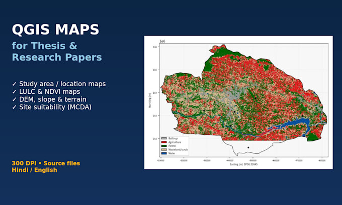
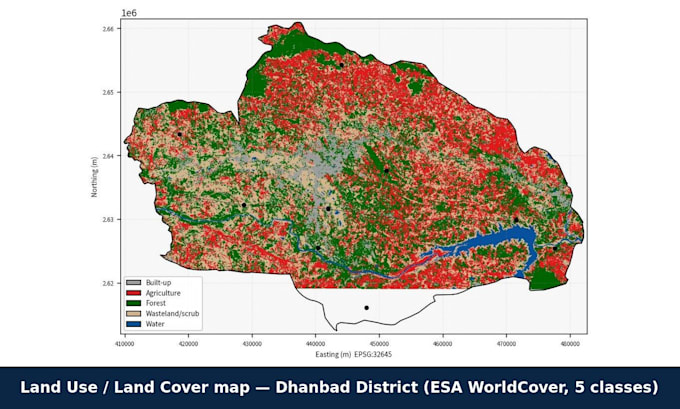
Need clean, publication-ready maps for your thesis, dissertation, journal paper or project report? I'm a geography postgraduate (M.Sc. Geography, IGNOU) who builds maps in QGIS from real data: Sentinel-2, Landsat, ESA WorldCover, SRTM/Copernicus DEM, Bhuvan, Census of India and OpenStreetMap.
What I make:
Study area / location maps (country > state > district > site)
LULC classification and change detection maps
NDVI, NDWI and other index maps
DEM, slope, aspect, hillshade and drainage/watershed maps
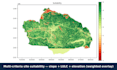
Site suitability (weighted overlay / MCDA) maps
Thematic and choropleth maps from your Excel/CSV data
Every map includes title, legend, north arrow, scale bar, coordinate grid, data source and CRS, exported at 300 DPI (PNG/JPG/PDF). Labels in English or Hindi.
Please message me before ordering with your study area, map type and university or journal format, so I can confirm data and give an exact quote.
Note: I provide maps, data and a short methods note, not thesis writing.
Please inform the freelancer of any preferences or concerns regarding the use of AI tools in the completion and/or delivery of your order.
GIS cartographer, geographer
Languages
Do you work in ArcGIS?
A: I work in QGIS, which gives the same output, and I can export shapefiles or GeoPackage for ArcGIS users.
Can you use my own data?
A: Yes: Excel, CSV, KML, shapefile, GeoPackage or GPS points.
Can you do change detection between two years?
A: Yes, using Landsat or Sentinel-2 imagery for the years your study needs, with an area-change table.