Browse categories
English
$
USD
Connect to your AI



Need accurate satellite remote sensing analysis and publication-ready 300 DPI maps using Google Earth Engine (GEE), ArcGIS Pro, and QGIS?
I specialize in cloud-based geospatial processing and satellite data analysis for academic research, agriculture, and environmental monitoring.
Core GEE & Remote Sensing Services:
- LULC Classification: Supervised classification (Random Forest, SVM, CART), area stats & change detection.
- Spectral Indices: NDVI, SAVI, EVI, NDWI, NDBI & Multi-Index Soil Salinity (S1, S2, SI).
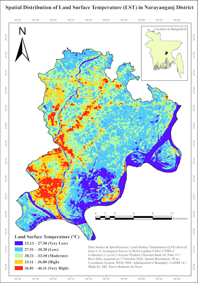
- Thermal & Climate: Land Surface Temperature (LST) via Landsat 8/9, thermal hotspots & CHIRPS rainfall trends.
- Radar & Air Quality: Sentinel-1 SAR flood inundation mapping & Sentinel-5P pollution mapping (NO2, CO).
- Cartography: Exporting GEE rasters to ArcGIS Pro/QGIS for 300 DPI multi-panel journal layouts.
Deliverables:
- 300 DPI maps (PNG, JPEG, PDF, TIFF)
- GeoTIFF rasters, shapefiles & CSV statistical tables
- Clean, reproducible Google Earth Engine (JavaScript) code
Message me with your study area (ROI) and timeframe before ordering!
GIS, Remote Sensing and Geospatial Data Analyst
Languages
Can you provide the Google Earth Engine (GEE) JavaScript code and GeoTIFF files?
Yes! Along with the 300 DPI publication-ready map layouts, I can provide the complete reproducible GEE script, processed GeoTIFF rasters, shapefiles, and CSV data tables.
Which satellite datasets do you use for LULC, NDVI, LST, and Flood mapping?
I work with Landsat 5/8/9, Sentinel-2 (multispectral), Sentinel-1 SAR (radar flood mapping), Sentinel-5P (air quality), MODIS, Copernicus DEM, and CHIRPS rainfall datasets depending on your research requirements.