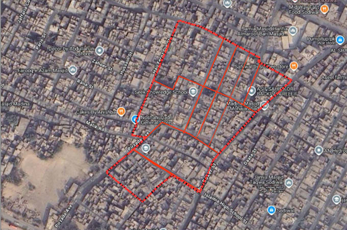
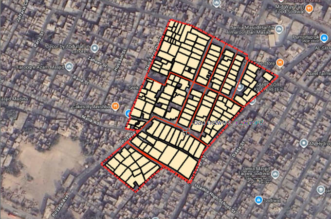
I will do map digitization, saptial analysis, vectorization in arcgis and qgis

N
numan_ali99
N
numan_ali99
Numan

About this gig

I am a skilled GIS specialist with expertise in ArcGIS, ArcMap, and QGIS. I can convert your raw spatial data, hand-drawn sketches, PDFs, or satellite imagery into high-quality, professional, and publication-ready maps.

Services I Offer:

  • Map Digitization & Vectorization: Converting images, PDFs, and raster data into Shapefiles (Point, Line, Polygon).
  • Parcel & Cadastral Mapping: Land layout, housing scheme, and plot boundary mapping with high accuracy.
  • Georeferencing: Aligning old maps, scanned images, or aerial views to correct geographic coordinates.
  • Cartographic Design & Layout: Creating publication-ready maps complete with Title, Legend, North Arrow, Scale Bar, and Grids.
  • Attribute Table Management: Organizing data, calculating geometry (Area, Perimeter, Length), and backend table structuring.
  • Spatial Analysis: Buffer zones, overlay analysis, and thematic mapping.

Why Choose Me?

  • High accuracy and clean topology (no overlaps/gaps)
  • Fast turnaround time
  • 100% satisfaction guaranteed
  • Output formats: SHP, GeoJSON, KML, High-Res PNG/PDF, MXD/QGZ (Source Files)

Please contact me before placing an order to discuss your project requirements and scope.

Delivery style preference

Please inform the freelancer of any preferences or concerns regarding the use of AI tools in the completion and/or delivery of your order.

Get to know Numan

Numan

GIS Speacialist

  • FromPakistan
  • Member sinceFeb 2025
  • Languages

    English
Hi! I am a Professional GIS Specialist & Geologist with a passion for precision and spatial storytelling. I specialize in High-Quality Cartography, Manual Digitization, and Remote Sensing. Recently, my work on the KKH Geological Roadlog (digitizing complex tectonic boundaries) gained significant recognition for its technical accuracy and professional standards. What I can do for you: Manual Digitization: Converting legacy paper/PDF maps into accurate Shapefiles, KML, or GeoJSON. Geological Mapping: Creating detailed lithological and tectonic maps. Custom Layout: Proper Projection, legend,scale