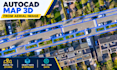
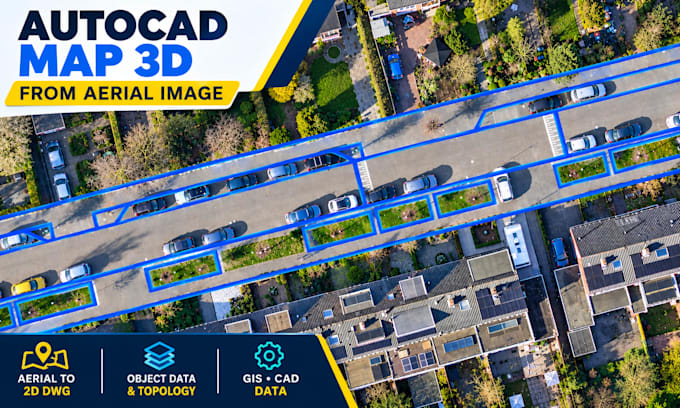
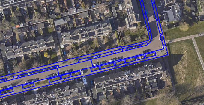
I will convert aerial images into autocad map 3d dwg maps

O
oishi_74
O
oishi_74
Oishi

About this gig

I will convert aerial and satellite images into clean AutoCAD Map 3D DWG drawings, including road mapping, building footprints, land parcels, georeferencing, and GIS data preparation.

Get to know Oishi

Oishi

Specialized GIS and CAD

  • FromBangladesh
  • Member sinceOct 2026
  • Avg. response time1 hour
  • Languages

    English
Hello! I’m a GIS & CAD Mapping Specialist with 5+ years of experience in aerial imagery mapping, geospatial data processing, and QA/QC. I specialize in AutoCAD Map 3D and QGIS, offering building footprint digitization, road and parking mapping, parcel and boundary mapping, DWG georeferencing, Object Data Tables, topology setup, GIS data conversion, and spatial data validation. I focus on accuracy, clean data organization, and professional deliverables in DWG, DXF, SHP, KML/KMZ, and GeoJSON formats. Message me to discuss your GIS or CAD project!