Browse categories
Explore
Fiverr Pro
English
$
USD


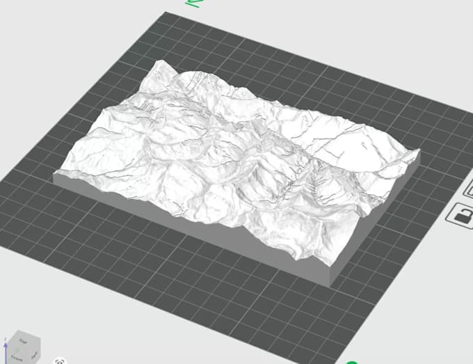
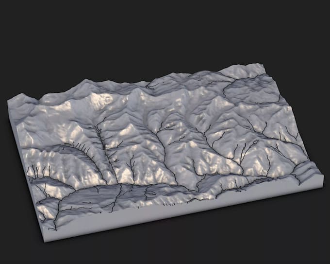
You will get your drone photos stitched together or LiDar data processed to develop any one or all of the following outputs: an Orthomosaic, surface contours, a Digitial Surface Model, topographic survey, Civil 3D, TIN surface model, As-built drawing
after point classification of your point cloud, a Digitial Terrain Model, a Digital Elevation Model of your data, a Mesh and textured model, exported georeferenced image of your data viewable on Google Earth.
Lastly i will process point cloud scan to generate dwg 2dplan, and 3d model, tin surface model
Fiverr does not screen freelancers in this category. Please verify qualifications and discuss requirements with the freelancer before ordering, including any preferences regarding the use of AI tools.
DEM DSM Terrain TIN
Languages