Browse categories
Explore
Fiverr Pro
English
$
USD


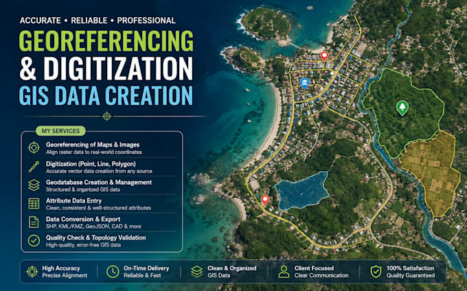
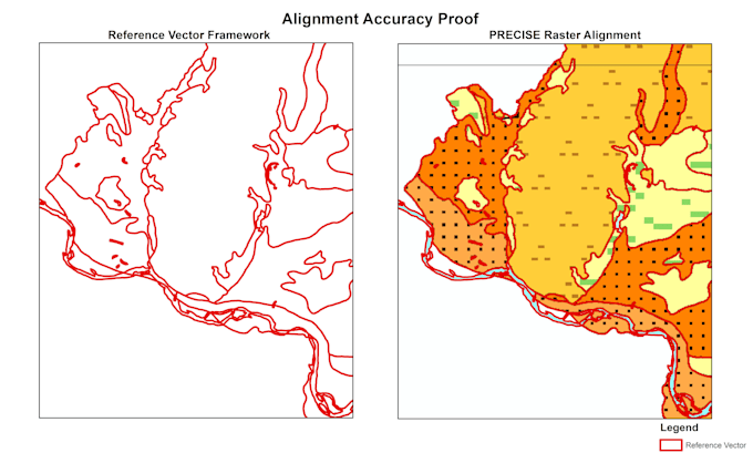
Need your maps or GIS data georeferenced, digitized, organized or converted? I can help.
I provide accurate GIS data preparation services with attention to detail, proper coordinate systems, clean attribute data and organized outputs.
My services include:
I can work with scanned maps, existing GIS datasets, CAD files, satellite/raster data and other commonly used formats.
Whether you need a simple digitization task, a georeferenced map, organized GIS layers, or a complete geodatabase, I will provide clean and properly structured results.
Please contact me before ordering if your project involves multiple layers, large datasets or a complex geodatabase structure. I'll be happy to review your requirements and confirm the scope and delivery time.
GIS Analyst
Languages
Can you give an example of a Basic project?
A simple georeferencing task or digitizing a limited number of features, such as several points or a small number of simple polygons/lines.
What would qualify as a Standard project?
A project requiring georeferencing plus moderate digitization, such as digitizing roads, water bodies and important locations from a map into point, line and polygon layers.
What is included in the Premium package?
Premium is for more structured GIS work, such as creating a geodatabase with feature datasets/classes, subtypes or organized attributes, together with georeferencing and digitization.
Is project area the only factor that determines the package?
No. Scope depends on area, feature density, geometry complexity, map quality, number of feature types and required accuracy. A small but highly detailed map can require more work than a larger simple map.
Can I order directly if my project is large or complex?
Please contact me before ordering if your project involves a large area, many features, multiple maps, complex geodatabase requirements or high-accuracy digitization. I can review the scope and recommend the appropriate package.