Browse categories
Explore
Fiverr Pro
English
$
USD



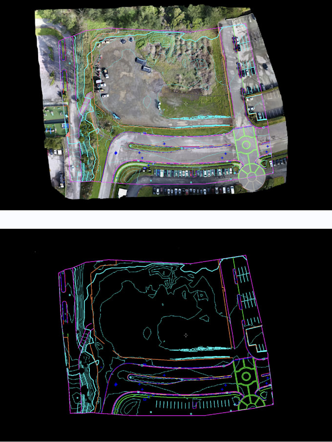
Are you looking for high-quality LiDAR data processing for your engineering, surveying, or construction projects? I am a Civil Engineer with extensive experience in processing LiDAR data from various sources, including mobile LiDAR, 3D laser scanners, and drones. I offer a range of services to meet your needs, from basic point cloud classification to advanced topographic mapping and 3D modeling.
My expertise includes:
I am proficient in industry-standard software such as TopoDOT, MicroStation, TerraScan, Revit, and Civil 3D. I am committed to delivering accurate, reliable, and timely results to help you streamline your workflows and make informed decisions.
Choose from my Basic, Standard, or Premium packages to get the level of service you need. Contact me today to discuss your project requirements!
Expert in LiDAR and Photogrammetry Data Processing
Languages
What type of LiDAR data do you work with?
I work with various LiDAR data sources, including airborne, mobile, and terrestrial laser scanning data. I can process LAS/LAZ files, and I'm experienced in handling different point cloud densities.
What software do you use for LiDAR processing?
I am proficient in industry-standard software such as TopoDOT, MicroStation, Revit, Cyclone, TerraScan, and Civil 3D. This allows me to deliver high-quality and accurate results.
What file formats will I receive?
I can provide deliverables in a variety of formats, including LAS/LAZ (point clouds), TIFF/ASCII (DTM), DWG/SHP (contour lines, feature extraction), and OBJ/FBX (3D models). Please specify your preferred format when ordering.
How accurate will the deliverables be?
I adhere to industry best practices and can deliver results that meet ASPRS positional accuracy standards. The final accuracy depends on the quality of the input data, but I always strive for the highest possible precision.
How do you determine pricing?
Pricing depends on the project's scope, including the area size, data volume, complexity, and required deliverables. My packages offer different tiers of service to suit various needs. Contact me for a custom quote for large or complex projects.
What is the turnaround time?
Turnaround time varies depending on the package you choose and the project's complexity. I provide estimated delivery times in each package description. Faster delivery options may be available as a Gig Extra.