Browse categories
Explore
Fiverr Pro
English
$
USD

Level 1


Hi,
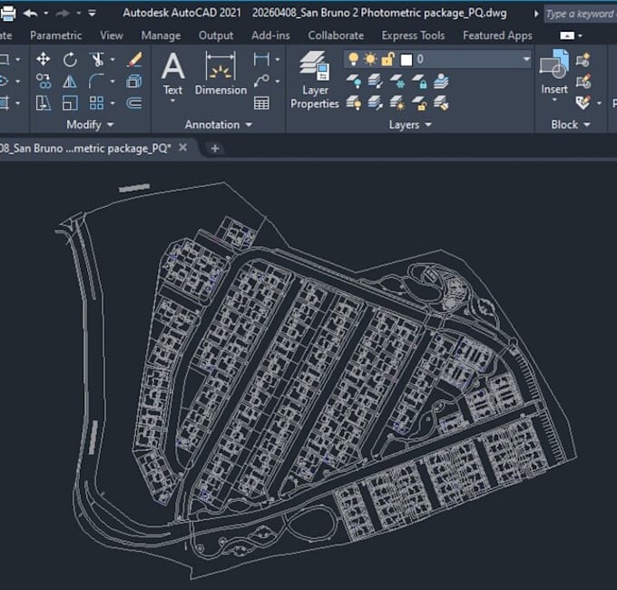
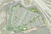
Are you looking for an accurate AutoCAD site plan but only have a Google Earth image or a scanned PDF?
I specialize in converting:
Google Earth satellite images
Scanned site plans
Low-quality PDFs
into precise, scaled 2D AutoCAD drawings (DWG format) using real-world coordinates and measurements.
What you will get:
Why choose me?
Please contact me before placing an order to discuss your project.
Fiverr does not screen freelancers in this category. Please verify qualifications and discuss requirements with the freelancer before ordering, including any preferences regarding the use of AI tools.
PERMIT READY LIGHTING DESIGNER FOR US COMMERCIAL PROJECTS
Level 1
Languages
Q: Can you ensure accuracy from Google Earth?
A: Yes, I use coordinates and scaling techniques to maintain high accuracy.
Q: Do you provide DWG files?
A: Yes, editable AutoCAD DWG files are included.