Browse categories
English
$
USD
Connect to your AI

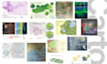

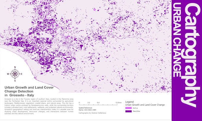
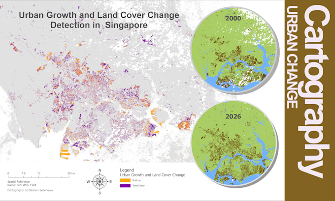
Are you looking for professional GIS mapping and cartographic solutions for your business, research, engineering or environmental projects?
I provide high-quality GIS mapping and spatial data visualization services using ArcGIS Pro, ArcGIS and QGIS.
My Services
- Professional GIS mapping and cartographic design
- Thematic and reference mapping
- Land use and land cover maps
- Environmental and resource mapping
- Administrative boundary and location maps
- Infrastructure and utility mapping
- Spatial data visualization
- Map layout design and publication-ready exports
- Geospatial data digitization and editing
Deliverables
- High-resolution PDF, PNG or JPEG maps
- Editable GIS project files when included in the package
- GIS data in agreed formats
Why Choose My Services?
- Professional GIS and cartographic experience
- Accurate spatial data handling
- High-quality map presentation
- Clear communication and reliable delivery
- Solutions tailored to your project requirements
Contact me before ordering to discuss your project and data requirements. Let's turn your geospatial data into meaningful maps!
Your satisfaction is my priority
Languages
Do you work with international clients?
Yes. I provide GIS and remote sensing services to clients worldwide.