Browse categories
English
$
USD
Connect to your AI
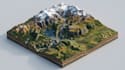
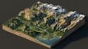
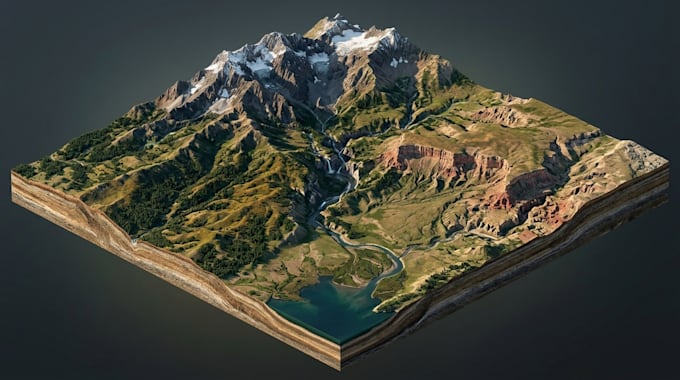
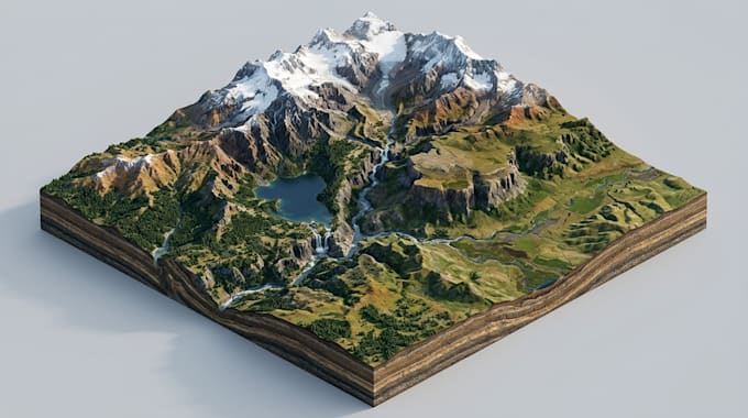
Hello and welcome to my gig!
Are you looking for professional terrain visualizations to present geographical features, land elevation, and surface details? You're in the right place!
I create 3D terrain maps, digital elevation models, and shaded relief maps for GIS projects, geographical presentations, environmental studies, and land development.
My services include:
I focus on clear elevation presentation, realistic terrain details, attractive 3D visualization, and professional map design based on your supplied data and references.
Please message me before placing your order so we can discuss your project requirements and choose the right package!
Please inform the freelancer of any preferences or concerns regarding the use of AI tools in the completion and/or delivery of your order.
Professional map designer
Languages
What information do you need to start?
Please provide your geographical area, DEM or elevation data, reference maps, preferred colors, and desired output style.
What is a digital elevation model (DEM)?
A DEM is a digital representation of ground elevation across a geographical area, commonly used for terrain analysis and visualization.
Can you create 3D terrain maps?
Yes, I can create 3D terrain visualizations showing mountains, valleys, slopes, ridges, and other landforms.
Can you create shaded relief maps?
Yes, I can produce shaded relief maps that use simulated lighting to highlight terrain shape and surface features.
Can you work with existing elevation data?
Yes, I can work with suitable DEM files and other supplied elevation datasets, depending on their format and quality.
Which file formats do you provide?
I can provide high-resolution PNG and JPG images. GeoTIFF, PDF, and editable GIS project files depend on the project requirements and selected package.