Browse categories
Explore
Fiverr Pro
English
$
USD

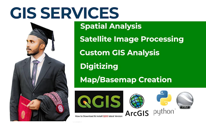
Welcome to Your GIS Mapping Partner
I specialize in Geographic Information Systems (GIS), helping clients transform spatial data into clear, practical, and decision-ready insights. With hands-on experience and a strong analytical approach, I deliver reliable GIS solutions tailored to your project needs.
My GIS Services
Remote Sensing & Environmental Analysis
I provide advanced remote sensing and environmental analysis to extract meaningful information from satellite and climate data:
Software Expertise
Elevate your mapping project with customized, interactive solutions from me.
If you have any questions or need further customization, let's have a chat.
Languages
What software do you use for GIS and remote sensing projects?
I am proficient in using a variety of industry-leading software, including ArcGIS, ArcGIS Pro, QGIS, Google Earth Pro, and Python coding. This allows us to offer tailored solutions that meet the specific needs of your project.
How can I get started with your services?
Getting started is easy! Simply contact me to discuss your project requirements. I will work with you to understand your needs and provide a customized solution that aligns with your goals. Whether you need GIS analysis, remote sensing services, or web mapping, ArcGIS Map Box is here to help.