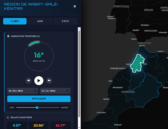
I will be opened for some webgis applications

Morocco

I speak Arabic, French, English

Architects of Spatial Truth

Philec is a geospatial engineering practice. We turn raw ground truth into precise, structured spatial data that teams can build and decide on. ruled by two individuals alternating ensuring the consis...
About this Gig

I develop GIS solutions ranging from spatial analysis and WebGIS applications to AI/Machine Learning-enhanced models depending on what your project actually needs.

What I can build for you:

  • WebGIS platforms & interactive web maps
  • Spatial data analysis, processing & visualization
  • Custom dashboards (Leaflet, Mapbox, ArcGIS Online)
  • Automated GIS workflows using Python
  • When relevant: ML-based models for classification, prediction, or risk analysis (land-use, flood/wildfire risk, suitability analysis, satellite imagery classification)

Tools: QGIS, ArcGIS, PostGIS, Leaflet/Mapbox, Google Earth Engine, Python (GeoPandas, Rasterio) plus Scikit-learn/TensorFlow when ML fits the case.

Send me your data or describe your use case, and I'll recommend the right approach whether that's a clean WebGIS app, a spatial analysis, or a full ML-powered model and deliver clean, documented, ready-to-use results.

Let's build the spatial solution your project actually needs.

My Portfolio

Related tags