Browse categories
Explore
Fiverr Pro
English
$
USD

Level 1
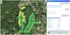
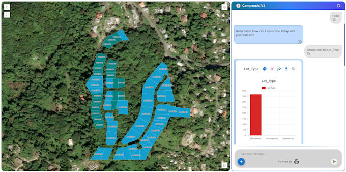
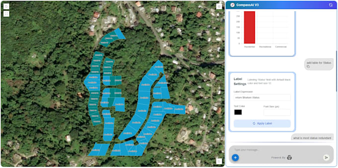
I will build a custom AI GIS chatbot that can analyze geospatial data, answer spatial questions, and provide smart map insights. Whether you use Shapefiles, GeoJSON, PostGIS, or land/farm data, I create a GeoAI assistant similar to CompassAI that integrates with your workflows and helps automate your GIS tasks.
Level 1
Languages
What type of GIS data can your AI chatbot work with
A: The chatbot can work with Shapefiles, GeoJSON, KML, PostGIS tables, raster data (DEM, TIFF), farm/land maps, and any geospatial documents used in your workflow.
Will the chatbot generate maps or only text answers
A: Yes, the Premium package supports map-based analysis and can generate insights related to coordinates, layers, elevation, and more. It can also reference your GIS data for precise answers.
Can you integrate the chatbot with my existing database or GIS system
A: Yes. I can integrate with PostGIS, SQL databases, CRM tools, APIs, or internal servers depending on your package.
What platform will the chatbot run on
A: It can run on your website, WhatsApp, Telegram, or as a standalone web app — depending on your needs and package.
Do you provide the source code
A: Source code is included in the Premium package only. It can be added to other packages as an extra service.
Will the chatbot support multiple languages
A: Yes. Multi-language support is available in the Standard and Premium packages, or as an add-on.
Can the chatbot work offline or on a local server
A: Yes. I can set up a local/offline version depending on your requirements and chosen model (additional fees may apply).
Do you help with deployment and setup
A: Absolutely. I provide deployment support on the platform of your choice (website, server, cloud, or local machine).