Browse categories
Explore
Fiverr Pro
English
$
USD


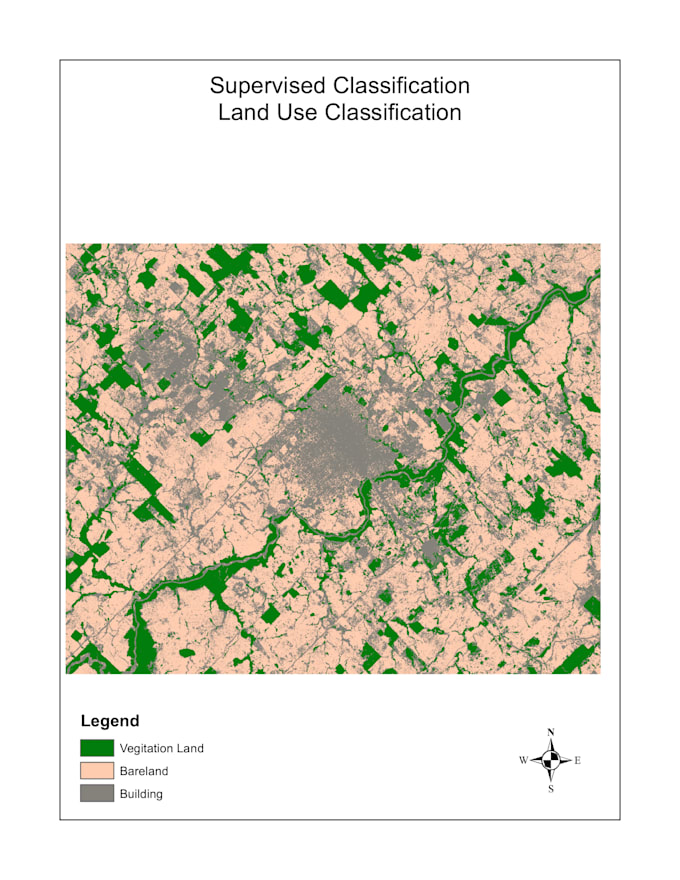
Are you a researcher, student, NGO, or environmental consultant who needs a professional LULC map?
I will classify satellite imagery (Landsat 8/9 or Sentinel-2) and deliver a publication-ready map with legend, scale bar, and north arrow.
Supervised or unsupervised classification
Accuracy assessment (confusion matrix + Kappa coefficient)
Delivered in PDF, PNG, or GeoTIFF
Any region in the world
ArcGIS Pro or Google Earth Engine workflow
I am an MSc student in GIS & Remote Sensing with active research experience in multi-temporal satellite image analysis.
Message me before ordering if you have a specific study area or deadline I always confirm feasibility first.
GIS and Remote Sensing Specialist
Languages
What satellite data do you use?
I use Landsat 8/9 or Sentinel-2 imagery sourced from Google Earth Engine or USGS Earth Explorer.
Can you map any location in the world?
Yes, as long as cloud-free imagery is available for your study area and time period.
What file format will I receive?
PDF and PNG by default. GeoTIFF available on request.