Browse categories
Explore
Fiverr Pro
English
$
USD
Turn your satellite, aerial, or drone imagery into decisions, not just maps.
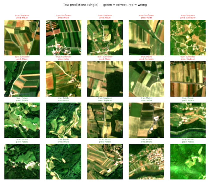
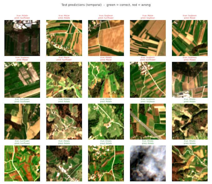
I build and train deep learning models that extract real meaning from geospatial data: detecting objects, classifying crops and land cover, segmenting features, and monitoring change over time. From raw imagery to a validated, working model, I handle the full pipeline and hand you clean, documented code with clear accuracy metrics.
What I can do for you:
Why me: I have built temporal crop-classification models, LiDAR pipelines, and a disease classifier served through a live web API. You get an engineer who understands both the remote sensing and the deep learning.
Message me before ordering so I can confirm scope and give you an accurate delivery time.


Programming language:
Python
•
SQL
APIs:
Microsoft Computer Vision AI
Frameworks:
Scikit-learn
•
PyTorch
•
Panda